2b, Petticoat Tower, Petticoat Square, City Of London, London, E1 7EE
Sales history & valuation
No sales recorded with HM Land Registry
That can mean the property has never traded since the registry began publishing in 1995, was a new build that hasn't been registered yet, or is held in the same hands long-term.
Median price across the last 5 sales in E1 7EE: £385,000 (2023–2012).
Nearby sales in E1 7EE
9a, Petticoat Tower, Petticoat Square, City Of London, London, E1 7EE
Sold Apr 2023
£385,00010a, Petticoat Tower, Petticoat Square, City Of London, London, E1 7EE
Sold Dec 2021
£381,00012a, Petticoat Tower, Petticoat Square, City Of London, London, E1 7EE
Sold Nov 2016
£470,00013a, Petticoat Tower, Petticoat Square, City Of London, London, E1 7EE
Sold Sept 2016
£500,0009c, Petticoat Tower, Petticoat Square, City Of London, London, E1 7EE
Sold Dec 2012
£243,250
About 2b
2b is a property in City Of London, London, London (E1 7EE). It has council tax band B.
One historical planning record sits against the property in 2018.
Energy performance
No EPC on record
This property doesn't have an Energy Performance Certificate yet. An EPC is required to sell or let — and unlocks our automated valuation.
Planning history
- Jul 2018FullOutcome in report
The replacement of the existing glazing system with a purpose built glazed facade system to the lobbies and bin chutes to the north facade and the emergency stairwells to the west facade of Petticoat Tower.
- Documents
- 14 docs on file
- Reference
- 17/01268/FULLR3
The neighbourhood at a glance
Rail-style transport is unusually close for this postcode.
Crime
949/mo
Falling year-on-year across the wider district.
Nearest stop
0.2 km
St Botolph Street — bus stop.
Closest school
0.2 km
The Aldgate School. 111 schools nearby.
Nearest schools
- The Aldgate SchoolPrimary206m
- Mulberry Canon Barnett Primary AcademyPrimary369m
- Christ Church CofE SchoolPrimary492m
- English Martyrs Roman Catholic Primary SchoolPrimary494m
Nearest stops
- St Botolph StreetBus stop164m
- Duke's PlaceBus stop174m
- HoundsditchBus stop178m
- Aldgate Underground StationSubway entrance220m
Most reported crime locally
- Violence & Sexual Offences4,314 reports24%
- Anti-social Behaviour3,926 reports22%
- Other Theft1,664 reports9%
- Theft from Person1,458 reports8%
Road noise across the postcode
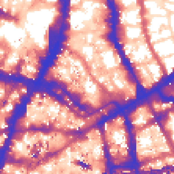
Daytime· 07:00 – 23:00
63.1dB
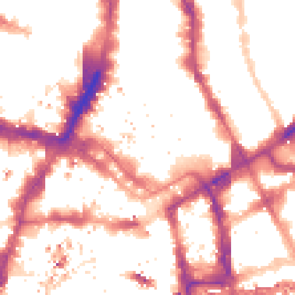
Night-time· 23:00 – 07:00
53.7dB

Get a survey for this property
Level 2 HomeBuyer Report
We've checked 10 risk factors against the available data for this property and believe a Level 2 HomeBuyer Report could be a suitable option for you.
Similar properties nearby
1 City Apartments, 9 White Church Lane, Tower Hamlets
E1 7QR
1 Cobb Street, Tower Hamlets
E1 7LB
1 College East, Gunthorpe Street, Tower Hamlets
E1 7RL
1 Frying Pan Alley, Tower Hamlets
E1 7HS
1 Kerstein Mansions, Assam Street, Tower Hamlets
E1 7QT
1 Leyden Street, Tower Hamlets
E1 7LE
1 Middlesex Street, City Of London
E1 7AA
1 New Drum Street, Tower Hamlets
E1 7AY
How to read this page
- How the estimate is made
- We don't publish an estimate for 2b because there is no EPC to tell the model the home's size and specification. The full report sets its records against recent comparable sales in E1 7EE.
- Where sold prices come from
- Sold prices are HM Land Registry Price Paid Data, which covers residential sales in England and Wales since 1995. No sale is recorded for 2b, which usually means it hasn't changed hands since 1995 or the sale was not for value. Sales normally appear two to three months after completion, so the most recent ones take time to show up anywhere.
- Reading the EPC
- There is no Energy Performance Certificate on the public register for 2b. A valid EPC is needed to sell or let a home in England and Wales, and lasts 10 years.
- Planning records
- Planning applications are collected from local authority registers through PlanIt. 1 application is matched to 2b. Councils sometimes file applications under a different address format, and applications on neighbouring land aren't listed here; the report covers both.
- Area figures
- Crime is police-recorded street-level data over the last 19 months, which places each incident at an approximate point. The 111 schools and 30 stops listed are measured in a straight line from E1 7EE, not by walking route. Road noise is Defra's strategic noise modelling, averaged across the postcode.
- Council tax band
- 2b is in council tax band B. Bands are set by the Valuation Office Agency from historic values (1 April 1991 in England, 1 April 2003 in Wales), not today's price; the amount you pay depends on the council's rate for the band.
Common questions
Know this home? Think our valuation is wrong?
Leave a note for other visitors about work done or anything the records miss, and say what you think it's worth. It takes about two minutes.