12 Centurion Fields, Doncaster, DN4 7EN
About 12 Centurion Fields
12 Centurion Fields is a six-bedroom detached house in Doncaster (DN4 7EN). It has a recorded floor area of 253 m² (around 2723 sq ft), construction records dating it to 2003-2006 and council tax band G. The latest certificate (February 2025) shows a C (score 79), near the top of the C band. Earlier certificates rated it B (March 2014); the latest reading is one band lower. Between certificates, lighting went from Average to Very Good. The recommended improvements would push it to B (score 84). Other recorded features include attached land beyond the plot.
Held since January 2009 — that's 17 years off the open market, well above the local norm. That sale fell during the post-crash dip, which often skews comparisons against later neighbouring sales. At 253 m² it's 29.3% larger than the typical home in the postcode (196 m² median across 14 EPCs). 6 bedrooms is on the larger side for this postcode, where 4 is the typical count. Today's modelled estimate of £632,000 is 47.8% above the 2009 sale price.
What this property has
Inside
- Bedrooms6
- Bathrooms3
- Open-plan layoutYes
- Dining roomYes
- EnsuiteYes
- StudyYes
- FireplaceYes
Outside
- GarageIntegral
- LandYes
Everything you need to know about 12 Centurion Fields
The true value, the hidden risks and the full sale history, in one report.
30-day money-back guarantee

The data behind every report


Energy performance
EPC Rating
Property Improvements
Changes detected from historical EPC data
More low energy lighting installed
Planning history
12 Centurion Fields has no planning applications on record.
Notable planning nearby
1applications of note in the surrounding area
Sales history & valuation
The latest sale fell during the post-2008 dip, often a low-water mark in price comparisons.
£632,000
Modelled from EPC, postcode comparables.
£427,500
Recorded with HM Land Registry.
Sales timeline
12 January 2009Most recent
£427,500
Median price across the last 5 sales in DN4 7EN: £435,000 (2024–2019).
Nearby sales in DN4 7EN
Versus other Centurion Fields homes
On years held, 12 Centurion Fields stands well clear of the street.
Price per m²
£1,690
Street avg £2,019
Floor Area
253 m²
Street avg 196 m²
Habitable Rooms
10 rooms
Street avg 7 rooms
CO₂ Emissions
5.3 t/year
Street avg 4.2 t/year
Everything you need to know about 12 Centurion Fields
The true value, the hidden risks and the full sale history, in one report.
30-day money-back guarantee
The data behind every report
Similar properties nearby
The neighbourhood at a glance
Reported crime in the wider district is trending notably upward year-on-year.
Crime
5/mo
Rising year-on-year across the wider district.
Nearest stop
0.2 km
Bawtry Road/Alston Road — bus stop.
Closest school
0.4 km
Willow Primary School. 13 schools nearby.
Go deeper on the local area
The full report breaks down crime, transport links, schools and air quality in depth.
Road noise across the postcode
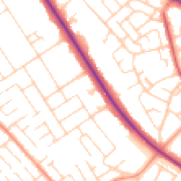
Daytime· 07:00 – 23:00
52.0dB

Night-time· 23:00 – 07:00
41.8dB