28 Abbott Street, Doncaster, DN4 0AU
About 28 Abbott Street
28 Abbott Street is a mid-terrace house in Doncaster (DN4 0AU). It has a recorded floor area of 73 m² (around 786 sq ft), construction records dating it to 1900-1929 and council tax band A. The latest certificate (September 2015) shows a D (score 55), a step below the typical UK home. The recommended improvements would push it to C (score 79). The latest certificate is from September 2015, so improvements made since then won't be reflected.
Across 2002–2022, sale prices on this property compounded at 6.2% per year. Today's modelled estimate of £106,000 sits 60.6% above the 2022 sale of £66,000. On a £-per-square-foot basis, the last sale (£84/sq ft) was about 62.7% above the typical sold price in the postcode. Last sale on file: £66,000 in August 2022. That sale was during the post-pandemic price surge, when transactions cleared materially above pre-2020 trend.
Everything you need to know about 28 Abbott Street
The true value, the hidden risks and the full sale history, in one report.
30-day money-back guarantee

The data behind every report


Energy performance
EPC Expired
This certificate is over 10 years old and is no longer valid.Expired 08 Sept 2025
EPC Rating
Planning history
28 Abbott Street has no planning applications on record.
Notable planning nearby
20applications of note in the surrounding area
We flagged 2 things worth checking at 28 Abbott Street
Independent checks surfaced things a buyer would want to understand before offering. The report explains each one in full, with the underlying data and what to ask.
- Signs of HMO activity in the area
- Larger development activity nearby
30-day money-back guarantee
Sales history & valuation
Sale price has grown by over 3x since 2002.
£106,000
Modelled from EPC, postcode comparables and a sale-price growth of 6.2% per year over 20 years.
£66,000
Growth on file: 6.2% per year over 20 years.
Sales timeline
5 August 2022Most recent
£66,000
+80.8%over 4 years17 July 2018
£36,500
+82.5%over 15 years1 November 2002
£20,000
Median price across the last 5 sales in DN4 0AU: £55,500 (2025–2022).
Nearby sales in DN4 0AU
Versus other Abbott Street homes
CO₂ Emissions for 28 Abbott Street lags the street by a wide margin.
Price per m²
£904
Street avg £672
Floor Area
73 m²
Street avg 73 m²
Habitable Rooms
4 rooms
Street avg 4 rooms
CO₂ Emissions
4.6 t/year
Street avg 3.7 t/year
Everything you need to know about 28 Abbott Street
The true value, the hidden risks and the full sale history, in one report.
30-day money-back guarantee
The data behind every report
Similar properties nearby
The neighbourhood at a glance
Rail-style transport is unusually close for this postcode.
Crime
5/mo
Rising year-on-year across the wider district.
Nearest stop
0.1 km
Hexthorpe Road/Abbott Street — bus stop.
Closest school
0.4 km
St Francis Xavier Catholic Primary School. 25 schools nearby.
Go deeper on the local area
The full report breaks down crime, transport links, schools and air quality in depth.
Road noise across the postcode
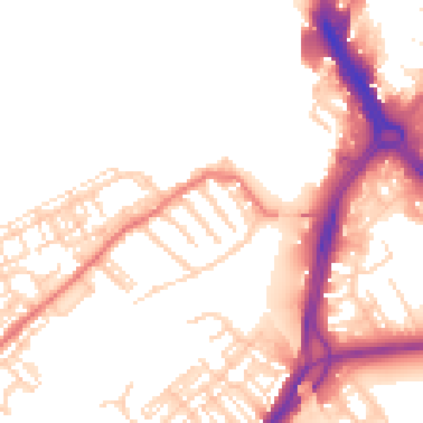
Daytime· 07:00 – 23:00
52.0dB
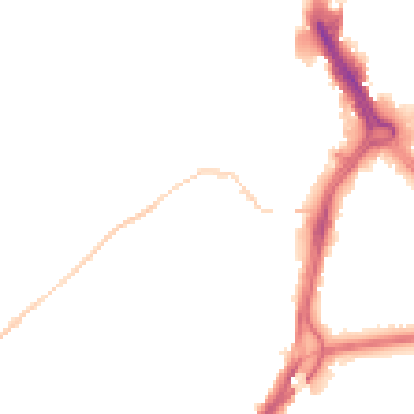
Night-time· 23:00 – 07:00
43.8dB