96 West Common Lane, Scunthorpe, DN17 1DU
About 96 West Common Lane
96 West Common Lane is a three-bedroom semi-detached house in Scunthorpe (DN17 1DU). It has a recorded floor area of 92 m² (around 990 sq ft), construction records dating it to 1900-1929 and council tax band B. The latest certificate (July 2015) shows a D (score 56), a step below the typical UK home. The recommended improvements would lift it to B (score 83), a 2-band jump. The latest certificate is from July 2015, so improvements made since then won't be reflected.
Today's modelled estimate of £156,000 sits 69.6% above the 2016 sale of £92,000. On the market in June 2016 and unlisted since — roughly 10 years.
Know exactly what you're buying at 96 West Common Lane
Before you offer, see what the listing won't tell you, the true value, the red flags and the full history.
Valuation
against the asking price
Risks
planning & flood
Sold prices
similar homes nearby
Trends
the local market
What this property has
Inside
- Bedrooms3
- Bathrooms1
- Dining roomYes
Outside
- Private gardenYes
- GarageDetached
Energy performance
Recommended upgrades on file would lift this property by multiple EPC bands.
EPC Expired
This certificate is over 10 years old and is no longer valid.Expired 27 Jul 2025
EPC Rating
Planning history
96 West Common Lane has no planning applications on record.
The full report still covers planning activity across the surrounding area.
Sales history & valuation
96 West Common Lane valuation sits well clear of the typical sold price in this postcode.
£156,000
Modelled from EPC, postcode comparables.
£92,000
Recorded with HM Land Registry.
Sales timeline
9 June 2016Most recent
£92,000
Median price across the last 5 sales in DN17 1DU: £169,950 (2025–2019).
Nearby sales in DN17 1DU
48 West Common Lane, Scunthorpe, DN17 1DU
Sold Oct 2025
£172,50056 West Common Lane, Scunthorpe, DN17 1DU
Sold Nov 2022
£169,95072 West Common Lane, Scunthorpe, DN17 1DU
Sold Oct 2020
£177,50090 West Common Lane, Scunthorpe, DN17 1DU
Sold Aug 2019
£138,00064 West Common Lane, Scunthorpe, DN17 1DU
Sold Mar 2018
£145,000
Everything we know about 96 West Common Lane, in one report
What it's really worth, what could be wrong, and the planning, sales and area data in full.
- Am I paying too much?
- Is something wrong with it?
- Is the agent's story true?
- Will it hold its value?

Versus other West Common Lane homes
On price per m², 96 West Common Lane runs well behind the street norm.
Price per m²
£1,000
Street avg £1,317
Floor Area
92 m²
Street avg 93 m²
Habitable Rooms
5 rooms
Street avg 5 rooms
CO₂ Emissions
5.2 t/year
Street avg 4.6 t/year
Similar properties nearby
1 Blake Avenue
DN17 1LU
1 Brumby Grove Cottages, Scotter Road
DN17 1ST
1 Bridport Walk
DN17 1UB
1 Byron Close
DN17 1LX
1 Chelwood Road
DN17 1HB
1 Bodmin Close
DN17 1TW
1 Brumby Hall Gardens
DN17 1BP
1 Cathedral Court
DN17 1HZ
The neighbourhood at a glance
Daytime road noise here sits well below conversation level — a quiet pocket of the postcode.
Crime
5/mo
Steady year-on-year across the wider district.
Nearest stop
0.1 km
West Common Lane — bus stop.
Closest school
0.3 km
John Leggott Sixth Form College. 30 schools nearby.
Go deeper on the local area
The full report breaks down crime, transport links, schools and air quality in depth.
Road noise across the postcode
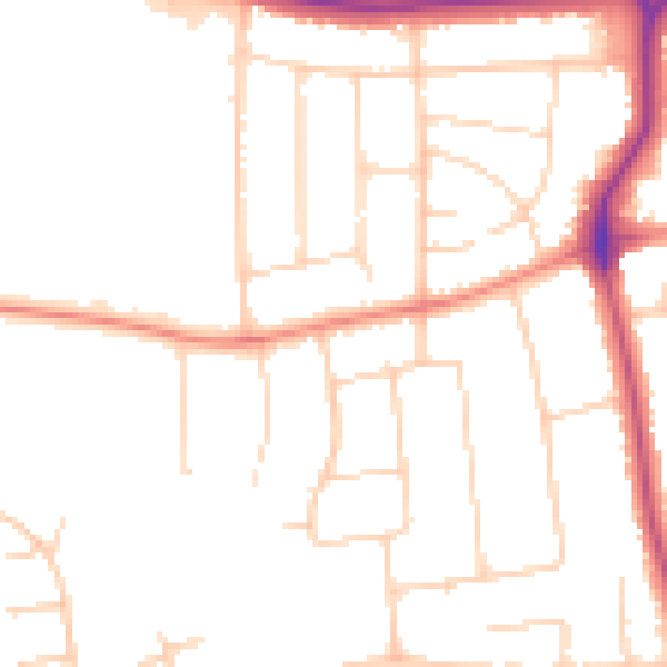
Daytime· 07:00 – 23:00
48.1dB

Night-time· 23:00 – 07:00
39.0dB