79 Glanville Avenue, Scunthorpe, DN17 1DB
About 79 Glanville Avenue
79 Glanville Avenue is a four-bedroom detached house in Scunthorpe (DN17 1DB). It has a recorded floor area of 152 m² (around 1636 sq ft), construction records dating it to 1930-1949 and council tax band C. The latest certificate (June 2015) shows an E (score 47), well below the UK norm with real room to improve. The recommended improvements would lift it to B (score 81), a 3-band jump. The latest certificate is from June 2015, so improvements made since then won't be reflected. Records show the property has been extended at some point in its history. The home occupies a cul-de-sac position.
At 152 m² the property is well over the postcode median (102 m² across 6 EPCs), placing it in the larger end of the local stock. Across 2016–2019, sale prices on this property compounded at -8.9% per year. Today's modelled estimate of £252,000 sits 52.7% above the 2019 sale of £165,000. On a £-per-square-foot basis, the last sale (£101/sq ft) was about 20.1% below the postcode norm. Last sale on file: £165,000 in April 2019.
Know exactly what you're buying at 79 Glanville Avenue
Before you offer, see what the listing won't tell you, the true value, the red flags and the full history.
Valuation
against the asking price
Risks
planning & flood
Sold prices
similar homes nearby
Trends
the local market
What this property has
Inside
- Bedrooms4
- Bathrooms2
- Dining roomYes
- EnsuiteYes
Outside
- GarageDetached
- Cul-de-sacYes
Building
- Previously extendedYes
Energy performance
79 Glanville Avenue's carbon output runs well above what efficient homes in the postcode produce.
EPC Expired
This certificate is over 10 years old and is no longer valid.Expired 15 Jun 2025
EPC Rating
Planning history
79 Glanville Avenue has no planning applications on record.
The full report still covers planning activity across the surrounding area.
Sales history & valuation
79 Glanville Avenue valuation sits well clear of the typical sold price in this postcode.
£252,000
Modelled from EPC, postcode comparables and a sale-price growth of -8.9% per year over 2 years.
£165,000
Growth on file: -8.9% per year over 2 years.
Sales timeline
4 April 2019Most recent
£165,000
-19.5%over 2 years1 December 2016
£205,000
Median price across the last 5 sales in DN17 1DB: £167,500 (2025–2009).
Nearby sales in DN17 1DB
55 Glanville Avenue, Scunthorpe, DN17 1DB
Sold Jul 2025
£175,00075 Glanville Avenue, Scunthorpe, DN17 1DB
Sold Aug 2024
£167,50081 Glanville Avenue, Scunthorpe, DN17 1DB
Sold Jul 2017
£240,00065 Glanville Avenue, Scunthorpe, DN17 1DB
Sold Jul 2015
£110,00073 Glanville Avenue, Scunthorpe, DN17 1DB
Sold Apr 2009
£115,000
Everything we know about 79 Glanville Avenue, in one report
What it's really worth, what could be wrong, and the planning, sales and area data in full.
- Am I paying too much?
- Is something wrong with it?
- Is the agent's story true?
- Will it hold its value?

Versus other Glanville Avenue homes
Price per m² for 79 Glanville Avenue lags the street by a wide margin.
Price per m²
£1,086
Street avg £1,578
Floor Area
152 m²
Street avg 110 m²
Habitable Rooms
6 rooms
Street avg 5 rooms
CO₂ Emissions
9.9 t/year
Street avg 7.4 t/year
Similar properties nearby
1 Bodmin Close
DN17 1TW
1 Brumby Hall Gardens
DN17 1BP
1 Belvedere Drive
DN17 1DZ
1 Blake Avenue
DN17 1LU
1 Brumby Grove Cottages, Scotter Road
DN17 1ST
1 Bridport Walk
DN17 1UB
1 Byron Close
DN17 1LX
1 Chelwood Road
DN17 1HB
The neighbourhood at a glance
Crime
5/mo
Steady year-on-year across the wider district.
Nearest stop
0.0 km
Danum Road — bus stop.
Closest school
0.5 km
John Leggott Sixth Form College. 29 schools nearby.
Go deeper on the local area
The full report breaks down crime, transport links, schools and air quality in depth.
Road noise across the postcode
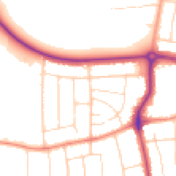
Daytime· 07:00 – 23:00
50.8dB

Night-time· 23:00 – 07:00
42.1dB