19 Lloyds Avenue, Scunthorpe, DN17 1BY
About 19 Lloyds Avenue
19 Lloyds Avenue is a three-bedroom semi-detached house in Scunthorpe (DN17 1BY). It has a recorded floor area of 108 m² (around 1163 sq ft), construction records dating it to 1900-1929 and council tax band B. The latest certificate (August 2018) shows a D (score 57), a step below the typical UK home. The recommended improvements would push it to C (score 77). Records show the property has been extended at some point in its history.
Today's modelled estimate of £229,000 is 32.4% above the 2019 sale price. On a £-per-square-foot basis, the last sale (£149/sq ft) was about 25.4% above the typical sold price in the postcode. Sold November 2019 for £173,000.
Know exactly what you're buying at 19 Lloyds Avenue
Before you offer, see what the listing won't tell you, the true value, the red flags and the full history.
Valuation
against the asking price
Risks
planning & flood
Sold prices
similar homes nearby
Trends
the local market
What this property has
Inside
- Bedrooms3
- Bathrooms1
- Dining roomYes
Outside
- GarageDouble
Building
- Central heatingYes
- Previously extendedYes
- RefurbishedYes
Energy performance
EPC Rating
Planning history
19 Lloyds Avenue has no planning applications on record.
The full report still covers planning activity across the surrounding area.
Sales history & valuation
19 Lloyds Avenue valuation sits well clear of the typical sold price in this postcode.
£229,000
Modelled from EPC, postcode comparables.
£173,000
Recorded with HM Land Registry.
Sales timeline
15 November 2019Most recent
£173,000
Median price across the last 5 sales in DN17 1BY: £180,000 (2024–2021).
Nearby sales in DN17 1BY
Everything we know about 19 Lloyds Avenue, in one report
What it's really worth, what could be wrong, and the planning, sales and area data in full.
- Am I paying too much?
- Is something wrong with it?
- Is the agent's story true?
- Will it hold its value?

Versus other Lloyds Avenue homes
19 Lloyds Avenue is notably below the street on habitable rooms.
Price per m²
£1,602
Street avg £2,113
Floor Area
108 m²
Street avg 100 m²
Habitable Rooms
4 rooms
Street avg 5 rooms
CO₂ Emissions
5.4 t/year
Street avg 5.7 t/year
Similar properties nearby
1 Blake Avenue
DN17 1LU
1 Brumby Grove Cottages, Scotter Road
DN17 1ST
1 Bridport Walk
DN17 1UB
1 Byron Close
DN17 1LX
1 Chelwood Road
DN17 1HB
1 Bodmin Close
DN17 1TW
1 Brumby Hall Gardens
DN17 1BP
1 Appledore Crescent
DN17 1BT
The neighbourhood at a glance
Crime
5/mo
Steady year-on-year across the wider district.
Nearest stop
0.1 km
Lloyds Avenue — bus stop.
Closest school
0.5 km
Bushfield Road Infant School. 30 schools nearby.
Go deeper on the local area
The full report breaks down crime, transport links, schools and air quality in depth.
Road noise across the postcode
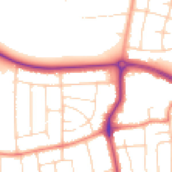
Daytime· 07:00 – 23:00
51.1dB

Night-time· 23:00 – 07:00
42.0dB