8 High Carr Close, Framwellgate Moor, Durham, DH1 5JP
About 8 High Carr Close
8 High Carr Close is a four-bedroom detached house in Framwellgate Moor, Durham, Durham (DH1 5JP). It has a recorded floor area of 132 m² (around 1421 sq ft). The latest certificate (June 2017) returns a B (score 84), comfortably above the UK average. The recommended improvements would push it to A (score 93). The property has solar panels on record, all of which lower running costs and tend to lift resale appeal.
Across 2017–2024, sale prices on this property compounded at 3.9% per year. On a £-per-square-foot basis, the last sale (£338/sq ft) was about 36.4% above the typical sold price in the postcode. Sold July 2024 for £480,000.
What this property has
Inside
- Bedrooms4
- Bathrooms2
Outside
- Private gardenYes
Building
- Central heatingYes
- Solar panelsYes
Everything you need to know about 8 High Carr Close
The true value, the hidden risks and the full sale history, in one report.
Pick your report · every report is £14.99
One time fee only - money back guarantee

The data behind every report


Energy performance
EPC Rating
Get a survey for this property
Level 2 HomeBuyer Report
We've checked 10 risk factors against the available data for this property and believe a Level 2 HomeBuyer Report could be a suitable option for you.
From £695 · Includes VAT
Planning history
8 High Carr Close has no planning applications on record.
But the area is active
13 notable applications nearby — larger schemes and conversions that could reshape the street. The report maps them all.
Sales history & valuation
8 High Carr Close valuation sits well clear of the typical sold price in this postcode.
£490,000
Modelled from EPC, postcode comparables and a sale-price growth of 3.9% per year over 7 years.
£480,000
Growth on file: 3.9% per year over 7 years.
Sales timeline
21 July 2024Most recent
£480,000
+31.5%over 7 years20 June 2017
£364,995
Median price across the last 5 sales in DH1 5JP: £450,000 (2025–2023).
Nearby sales in DH1 5JP
38 High Carr Close, Framwellgate Moor, Durham, DH1 5JP
Sold Mar 2025
£515,00041 High Carr Close, Framwellgate Moor, Durham, DH1 5JP
Sold Nov 2024
£450,00040 High Carr Close, Framwellgate Moor, Durham, DH1 5JP
Sold May 2024
£480,0006 High Carr Close, Framwellgate Moor, Durham, DH1 5JP
Sold Oct 2023
£440,00036 High Carr Close, Framwellgate Moor, Durham, DH1 5JP
Sold May 2023
£415,000
Versus other High Carr Close homes
On years held, 8 High Carr Close runs well behind the street norm.
Price per m²
£3,636
Street avg £2,627
Floor Area
132 m²
Street avg 138 m²
CO₂ Emissions
2.1 t/year
Street avg 2.1 t/year
Years Held
2 years
Street avg 8 years
Everything you need to know about 8 High Carr Close
The true value, the hidden risks and the full sale history, in one report.
Pick your report · every report is £14.99
One time fee only - money back guarantee
The data behind every report
Similar properties nearby
1 Aykley Vale, Aykley Heads
DH1 5WA
1 Barrington Close
DH1 5BX
1 Bede Way
DH1 5JT
1 Alexandra Close, Framwellgate Moor
DH1 5ED
1 Auckland Road
DH1 5PL
1 Aldhome Court, Framwellgate Moor
DH1 5FB
1 Ayden Grove
DH1 5FS
1 Augustine Close, Framwellgate Moor
DH1 5FE
The neighbourhood at a glance
Crime
6/mo
Steady year-on-year across the wider district.
Nearest stop
0.2 km
High Carr Road — bus stop.
Closest school
0.5 km
Framwellgate Moor Primary School. 15 schools nearby.
Go deeper on the local area
A Local Area report breaks down crime, transport links, schools and air quality in depth.
Road noise across the postcode
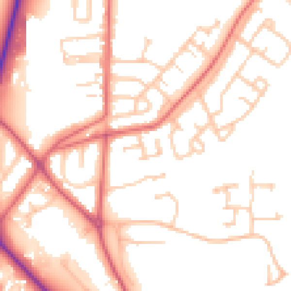
Daytime· 07:00 – 23:00
52.1dB
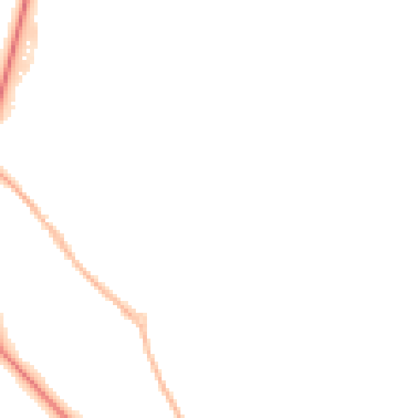
Night-time· 23:00 – 07:00
41.3dB