19 Ash Avenue, Durham, DH1 2HA
About 19 Ash Avenue
19 Ash Avenue is a property in Durham (DH1 2HA). It has council tax band A.
Energy performance
No EPC on record
This property doesn't have an Energy Performance Certificate yet. An EPC is required to sell or let — and unlocks our automated valuation.
Get a survey for this property
Level 2 HomeBuyer Report
We've checked 10 risk factors against the available data for this property and believe a Level 2 HomeBuyer Report could be a suitable option for you.
Planning history
No planning applications are recorded against 19 Ash Avenue, Durham, DH1 2HA. The full report also covers planning activity across the surrounding area.
Sales history & valuation
No sales recorded with HM Land Registry
That can mean the property has never traded since the registry began publishing in 1995, was a new build that hasn't been registered yet, or is held in the same hands long-term.
Median price across the last 5 sales in DH1 2HA: £82,000 (2023–2011).
Similar properties nearby
1 Adolphus Place
DH1 2RG
1 Aidan Gardens
DH1 2BF
1 Alington Place
DH1 2JH
1 Ancroft Garth, High Shincliffe
DH1 2UD
1 Angerstein Court, Broomside Lane
DH1 2QD
1 Apperley Avenue, High Shincliffe
DH1 2TY
1 Ash Avenue
DH1 2HA
1 Avenue Street, High Shincliffe
DH1 2PT
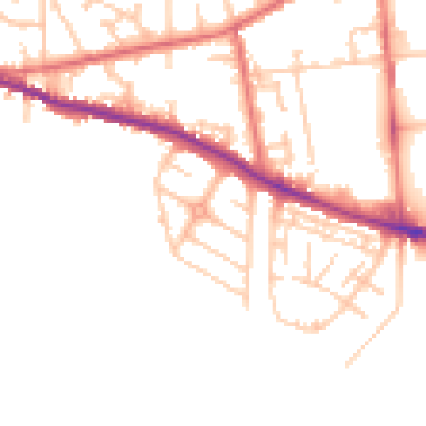
The neighbourhood at a glance
Daytime road noise here sits well below conversation level — a quiet pocket of the postcode.
Crime
6/mo
Steady year-on-year across the wider district.
Nearest stop
0.2 km
Bingo — bus stop.
Closest school
0.2 km
Laurel Avenue Community Primary School. 16 schools nearby.
Road noise across the postcode
Daytime· 07:00 – 23:00
48.9dB

Night-time· 23:00 – 07:00
39.9dB