8 St Giles Close, Gilesgate, Durham, DH1 1XH
About 8 St Giles Close
8 St Giles Close is a three-bedroom detached house in Gilesgate, Durham, Durham (DH1 1XH). It has a recorded floor area of 117 m² (around 1259 sq ft), construction records dating it to 1996-2002 and council tax band E. The latest certificate (March 2023) shows a C (score 72). The recommended improvements would push it to B (score 82). The home occupies a cul-de-sac position.
At 117 m² the property is well over the postcode median (65 m² across 39 EPCs), placing it in the larger end of the local stock. One planning record on file: an extension approved in 2015. Past consents include an extension and partial demolition, meaningful when judging how the property has evolved. Across 1999–2023, sale prices on this property compounded at 4.5% per year. On a £-per-square-foot basis, the last sale (£274/sq ft) was about 60.1% above the typical sold price in the postcode. Most recent transfer: May 2023 at £345,000.
What this property has
Inside
- Bedrooms3
- Bathrooms2
Outside
- Private gardenYes
- GarageDouble
- Cul-de-sacYes
Everything you need to know about 8 St Giles Close
The true value, the hidden risks and the full sale history, in one report.
Pick your report · every report is £14.99
One time fee only - money back guarantee

The data behind every report


Energy performance
EPC Rating
Get a survey for this property
Level 2 HomeBuyer Report
We've checked 10 risk factors against the available data for this property and believe a Level 2 HomeBuyer Report could be a suitable option for you.
From £595 · Includes VAT
Planning history
Planning history includes recorded demolition works, indicating a major rebuild phase at this address.
1 application on record at 8 St Giles Close, Gilesgate, Durham, DH1 1XH
- Jul 2015DemolitionFullOutcome in report
Extension: Single storey · Rear of property
Demolish existing conservatory and erection of single storey rear extension.
Extension- Documents
- 16 docs on file
- Reference
- DM/15/01802/FPA
Unlock 8 St Giles Close, Gilesgate, Durham, DH1 1XH's full planning history
You're seeing the shape of it. The report has the substance.
- Every decision — granted, refused or withdrawn (1 on record)
- All 1 application on this property in full, plus 72 notable nearby
- The 16 documents, officer reports & conditions
- What the pattern means for extending or converting here
One time fee only - money back guarantee
Sales history & valuation
Latest sale on 8 St Giles Close was the highest on Land Registry record across the postcode.
£357,000
Modelled from EPC, postcode comparables and a sale-price growth of 4.5% per year over 24 years.
£345,000
Growth on file: 4.5% per year over 24 years.
Sales timeline
31 May 2023Most recent
£345,000
+122.6%over 21 years17 December 2001
£155,000
+29.8%over 2 years9 May 1999
£119,400
Median price across the last 5 sales in DH1 1XH: £155,000 (2025–2024).
Nearby sales in DH1 1XH
38 St Giles Close, Gilesgate, Durham, DH1 1XH
Sold Oct 2025
£150,00025 St Giles Close, Gilesgate, Durham, DH1 1XH
Sold Sept 2025
£175,00016 St Giles Close, Gilesgate, Durham, DH1 1XH
Sold Jun 2025
£157,50039 St Giles Close, Gilesgate, Durham, DH1 1XH
Sold Oct 2024
£155,00028 St Giles Close, Gilesgate, Durham, DH1 1XH
Sold Mar 2024
£155,000
Versus other St Giles Close homes
Price per m² for 8 St Giles Close runs comfortably ahead of the street norm.
Price per m²
£2,949
Street avg £2,025
Floor Area
117 m²
Street avg 103 m²
Habitable Rooms
6 rooms
Street avg 6 rooms
CO₂ Emissions
3.7 t/year
Street avg 4.0 t/year
Everything you need to know about 8 St Giles Close
The true value, the hidden risks and the full sale history, in one report.
Pick your report · every report is £14.99
One time fee only - money back guarantee
The data behind every report
Similar properties nearby
The neighbourhood at a glance
Daytime road noise here sits well below conversation level — a quiet pocket of the postcode.
Crime
6/mo
Steady year-on-year across the wider district.
Nearest stop
0.1 km
Magdalene Street — bus stop.
Closest school
0.5 km
Laurel Avenue Community Primary School. 21 schools nearby.
Go deeper on the local area
A Local Area report breaks down crime, transport links, schools and air quality in depth.
Road noise across the postcode
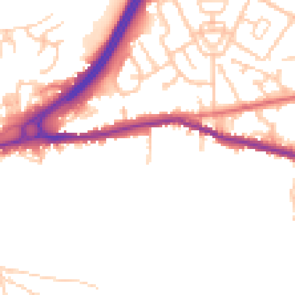
Daytime· 07:00 – 23:00
49.2dB

Night-time· 23:00 – 07:00
41.0dB