110 High Street, Carrville, Durham, DH1 1BQ
About 110 High Street
110 High Street is a three-bedroom end-of-terrace house in Carrville, Durham, Durham (DH1 1BQ). It has a recorded floor area of 88 m² (around 947 sq ft), construction records dating it to 1967-1975 and council tax band B. The latest certificate (June 2025) shows a D (score 66), on the cusp of jumping into the C band. The rating has held steady at D across 2 certificates since February 2009. Between certificates, lighting went from Very Poor to Poor; while window efficiency dropped from Average to Poor. The recommended improvements would push it to C (score 79).
Today's modelled estimate of £144,000 sits 85.8% above the 2014 sale of £77,500. On a £-per-square-foot basis, the last sale (£82/sq ft) was about 24.5% below the postcode norm. Last changed hands 12 years ago, in August 2014.
What this property has
Inside
- Bedrooms3
Outside
- Private gardenFront and rear
- GarageDetached
Everything you need to know about 110 High Street
The true value, the hidden risks and the full sale history, in one report.
Pick your report · every report is £14.99
One time fee only - money back guarantee

The data behind every report


Energy performance
EPC Rating
Property Improvements
Changes detected from historical EPC data
Windows upgraded to triple glazing
More low energy lighting installed
Get a survey for this property
Level 3 Building Survey
Because the property has been extended more than once, we believe a Level 3 building survey should be considered.
From £820 · Includes VAT
Planning history
110 High Street has no planning applications on record.
But the area is active
72 notable applications nearby — larger schemes and conversions that could reshape the street. The report maps them all.
Sales history & valuation
110 High Street valuation sits well clear of the typical sold price in this postcode.
£144,000
Modelled from EPC, postcode comparables.
£77,500
Recorded with HM Land Registry.
Sales timeline
7 August 2014Most recent
£77,500
Median price across the last 5 sales in DH1 1BQ: £130,000 (2024–2018).
Nearby sales in DH1 1BQ
107b, High Street, Carrville, Durham, DH1 1BQ
Sold Dec 2024
£250,000138 High Street, Carrville, Durham, DH1 1BQ
Sold Sept 2024
£125,000137 High Street, Carrville, Durham, DH1 1BQ
Sold Sept 2023
£133,25098a, High Street, Carrville, Durham, DH1 1BQ
Sold Feb 2018
£47,000141 High Street, Carrville, Durham, DH1 1BQ
Sold Feb 2018
£130,000
Versus other High Street homes
Price per m²
£881
Street avg £1,177
Floor Area
88 m²
Street avg 92 m²
Habitable Rooms
5 rooms
Street avg 5 rooms
CO₂ Emissions
3.6 t/year
Street avg 4.4 t/year
Everything you need to know about 110 High Street
The true value, the hidden risks and the full sale history, in one report.
Pick your report · every report is £14.99
One time fee only - money back guarantee
The data behind every report
Similar properties nearby
The neighbourhood at a glance
Crime
6/mo
Steady year-on-year across the wider district.
Nearest stop
0.0 km
High Street — bus stop.
Closest school
0.4 km
Belmont CofE (Controlled) Primary School. 12 schools nearby.
Go deeper on the local area
A Local Area report breaks down crime, transport links, schools and air quality in depth.
Road noise across the postcode
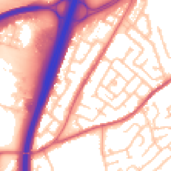
Daytime· 07:00 – 23:00
57.4dB
Night-time· 23:00 – 07:00
47.6dB