16 Burton Street, Tutbury, Burton On Trent, DE13 9NR
About 16 Burton Street
16 Burton Street is a one-bedroom property in Tutbury, Burton-On-Trent, Burton On Trent (DE13 9NR). It has council tax band A. Period features are noted in the property record. Our model identifies extension potential, subject to local planning policy.
Untraded for 20 years, with the last transfer in July 2006. 1 bedrooms is on the smaller side for this postcode, where 3 is the typical count.
What this property has
Inside
- Bedrooms1
- Dining roomYes
Outside
- Private gardenYes
Building
- Period featuresYes
- Extension potentialPossible
Everything you need to know about 16 Burton Street
The true value, the hidden risks and the full sale history, in one report.
Pick your report · every report is £14.99
One time fee only - money back guarantee

The data behind every report


Energy performance
No EPC on record
This property doesn't have an Energy Performance Certificate yet. An EPC is required to sell or let — and unlocks our automated valuation.
Get a survey for this property
Level 2 HomeBuyer Report
We've checked 10 risk factors against the available data for this property and believe a Level 2 HomeBuyer Report could be a suitable option for you.
Planning history
16 Burton Street has no planning applications on record.
But the area is active
4 notable applications nearby — larger schemes and conversions that could reshape the street. The report maps them all.
Sales history & valuation
£84,000
Recorded with HM Land Registry.
Sales timeline
20 July 2006Most recent
£84,000
Median price across the last 5 sales in DE13 9NR: £217,000 (2025–2023).
Nearby sales in DE13 9NR
49 Burton Street, Tutbury, Burton On Trent, DE13 9NR
Sold May 2025
£220,0005 Burton Street, Tutbury, Burton On Trent, DE13 9NR
Sold Jan 2025
£145,00028 Burton Street, Tutbury, Burton On Trent, DE13 9NR
Sold Sept 2024
£180,00050 Burton Street, Tutbury, Burton On Trent, DE13 9NR
Sold May 2024
£300,00023 Burton Street, Tutbury, Burton On Trent, DE13 9NR
Sold Apr 2023
£217,000
Everything you need to know about 16 Burton Street
The true value, the hidden risks and the full sale history, in one report.
Pick your report · every report is £14.99
One time fee only - money back guarantee
The data behind every report
Similar properties nearby
1 Bridge Street, Tutbury
DE13 9LZ
1 Alderbrook Close, Rolleston On Dove
DE13 9AH
1 Burton Street, Tutbury
DE13 9NR
1 Brookside Court, Brookside, Rolleston On Dove
DE13 9BD
1 Burnside Close, Rolleston On Dove
DE13 9DT
1 Bourne Close, Tutbury
DE13 9LH
1 Alders Reach, Rolleston On Dove
DE13 9BB
1 Anslow Park Cottages, Main Road, Anslow
DE13 9QJ
The neighbourhood at a glance
Rail-style transport is unusually close for this postcode.
Crime
5/mo
Steady year-on-year across the wider district.
Nearest stop
0.1 km
Ludgate Street — bus stop.
Closest school
0.0 km
Richard Wakefield CofE Primary Academy. 3 schools nearby.
Go deeper on the local area
A Local Area report breaks down crime, transport links, schools and air quality in depth.
Road noise across the postcode
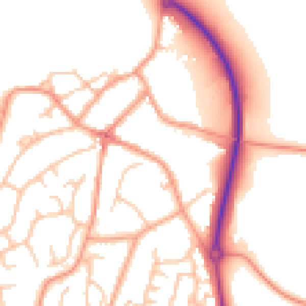
Daytime· 07:00 – 23:00
52.6dB

Night-time· 23:00 – 07:00
41.8dB