Model valuation£417,0008 Busby Close
Local market context
Mill Farm is a semi-detached house in Tutbury, Burton-On-Trent, Burton On Trent (DE13 9LZ). It has a recorded floor area of 184 m² (around 1981 sq ft), construction records dating it to before 1900 and council tax band E. The latest certificate (June 2019) shows an E (score 47), well below the UK norm with real room to improve. The rating has held steady at E across 2 certificates since May 2015. Between certificates, lighting dropped from Average to Poor. The recommended improvements would lift it to C (score 70), a 2-band jump.
Today's modelled estimate of £388,000 is 13.8% below the 2020 sale of £450,000, below the original sale price, which typically signals condition or completion-status changes worth verifying. On a £-per-square-foot basis, the last sale (£227/sq ft) was about 76.5% above the typical sold price in the postcode. At 184 m² the property is well over the postcode median (81 m² across 31 EPCs), placing it in the larger end of the local stock. 4 planning records sit against the property, 0 approved, 3 refused. Sold August 2020 for £450,000.
The true value, the hidden risks and the full sale history, in one report.
Pick your report · from £14.99
One time fee only - money back guarantee

The data behind every report


Mill Farm's carbon output runs well above what efficient homes in the postcode produce.
Certificate validity
Valid until 24 June 2029

Get a survey for this property
Because the property was built before 1919 and has solid (non-cavity) walls, we believe a Level 3 building survey should be considered.
From £955 · Includes VAT
4 applications on record at Mill Farm, Bridge Street, Tutbury, Burton On Trent, DE13 9LZ
Change of use of farm buildings into 3 residential units, alterations to existing vehicular access, formation of car parking and landscaping. (Amended Plans Recd 17/10/05)
+ 1 more application in the report
You're seeing the shape of it. The report has the substance.
One time fee only - money back guarantee
Latest sale on Mill Farm was the highest on Land Registry record across the postcode.
£388,000
Modelled from EPC, postcode comparables.
£450,000
Recorded with HM Land Registry.
13 August 2020Most recent
£450,000
Median price across the last 5 sales in DE13 9LZ: £166,000 (2025–2021).
28 Bridge Street, Tutbury, Burton On Trent, DE13 9LZ
Sold Oct 2025
37 Bridge Street, Tutbury, Burton On Trent, DE13 9LZ
Sold Mar 2024
36 Bridge Street, Tutbury, Burton On Trent, DE13 9LZ
Sold Mar 2022
12 Bridge Street, Tutbury, Burton On Trent, DE13 9LZ
Sold Mar 2022
26 Bridge Street, Tutbury, Burton On Trent, DE13 9LZ
Sold Sept 2021
Floor Area for Mill Farm runs comfortably ahead of the street norm.
Price per m²
£2,446
Street avg £1,668
Floor Area
184 m²
Street avg 95 m²
Habitable Rooms
7 rooms
Street avg 4 rooms
CO₂ Emissions
12.0 t/year
Street avg 5.8 t/year
Property research, connected
Explore sale histories, valuations, energy ratings and local areas. Ask the assistant to connect the details and take your research further.
Start your researchDE13 9BB
DE13 9FX
DE13 9EX
DE13 9BD
DE13 9EZ
DE13 9UG
DE13 9SA
DE13 9AH
Rail-style transport is unusually close for this postcode.
Crime
161/mo
Steady year-on-year across the wider district.
Nearest stop
0.0 km
Lower High Street — bus stop.
Closest school
0.4 km
Richard Wakefield CofE Primary Academy. 3 schools nearby.
Go deeper on the local area
A Local Area report breaks down crime, transport links, schools and air quality in depth.
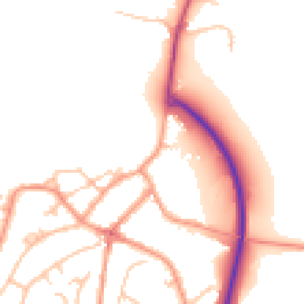
Daytime· 07:00 – 23:00
51.0dB
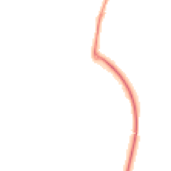
Night-time· 23:00 – 07:00
41.7dB