5 Needwood Park, Barton Under Needwood, Burton On Trent, DE13 8PA
About 5 Needwood Park
5 Needwood Park is a property in Barton Under Needwood, Burton-On-Trent, Burton On Trent (DE13 8PA). It has council tax band F.
Held since July 1998 — that's 28 years off the open market, well above the local norm. Only one transfer is on record with HM Land Registry, suggesting it has stayed in the same hands for a long time.
Everything you need to know about 5 Needwood Park
The true value, the hidden risks and the full sale history, in one report.
Pick your report · every report is £14.99
One time fee only - money back guarantee

The data behind every report


Energy performance
No EPC on record
This property doesn't have an Energy Performance Certificate yet. An EPC is required to sell or let — and unlocks our automated valuation.
Get a survey for this property
Level 2 HomeBuyer Report
We've checked 10 risk factors against the available data for this property and believe a Level 2 HomeBuyer Report could be a suitable option for you.
Planning history
5 Needwood Park has no planning applications on record.
A planning report still maps activity across the surrounding area and reads this property's extension & conversion potential.
Sales history & valuation
Latest sale on 5 Needwood Park was the lowest on Land Registry record across the postcode.
£180,000
Recorded with HM Land Registry.
Sales timeline
15 July 1998Most recent
£180,000
Median price across the last 5 sales in DE13 8PA: £695,000 (2024–2020).
Nearby sales in DE13 8PA
1 Needwood Park, Barton Under Needwood, Burton On Trent, DE13 8PA
Sold Jul 2024
£642,50012 Needwood Park, Barton Under Needwood, Burton On Trent, DE13 8PA
Sold May 2023
£725,00010 Needwood Park, Barton Under Needwood, Burton On Trent, DE13 8PA
Sold Feb 2021
£695,0008 Needwood Park, Barton Under Needwood, Burton On Trent, DE13 8PA
Sold Feb 2021
£700,0007 Needwood Park, Barton Under Needwood, Burton On Trent, DE13 8PA
Sold Dec 2020
£582,500
Everything you need to know about 5 Needwood Park
The true value, the hidden risks and the full sale history, in one report.
Pick your report · every report is £14.99
One time fee only - money back guarantee
The data behind every report
Similar properties nearby
1 Alexandra Drive, Yoxall
DE13 8PL
1 Alwyn Road, Yoxall
DE13 8QB
1 Anslow Road, Hanbury
DE13 8TJ
1 Arden Road, Barton Under Needwood
DE13 8LD
1 Aspen Road, Barton Under Needwood
DE13 8LQ
1 Barton Hall, Dunstall Road, Barton Under Needwood
DE13 8AX
1 Barton Mews, Short Lane, Barton Under Needwood
DE13 8LT
1 Beech Road, Barton Under Needwood
DE13 8LG
The neighbourhood at a glance
Crime
5/mo
Steady year-on-year across the wider district.
Nearest stop
0.1 km
Short Lane — bus stop.
Closest school
0.3 km
Thomas Russell Junior School. 4 schools nearby.
Go deeper on the local area
A Local Area report breaks down crime, transport links, schools and air quality in depth.
Road noise across the postcode
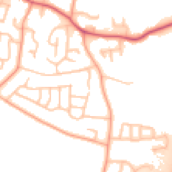
Daytime· 07:00 – 23:00
52.1dB

Night-time· 23:00 – 07:00
43.4dB