9 Amberlands, Stretton, Burton On Trent, DE13 0PE
About 9 Amberlands
9 Amberlands is a property in Stretton, Burton-On-Trent, Burton On Trent (DE13 0PE). It has council tax band D.
It hasn't traded since September 2001, a hold of 25 years that's notably long for the area. Across 2000–2001, sale prices on this property compounded at 7.1% per year.
Everything you need to know about 9 Amberlands
The true value, the hidden risks and the full sale history, in one report.
Pick your report · every report is £14.99
One time fee only - money back guarantee

The data behind every report


Energy performance
No EPC on record
This property doesn't have an Energy Performance Certificate yet. An EPC is required to sell or let — and unlocks our automated valuation.
Get a survey for this property
Level 2 HomeBuyer Report
We've checked 10 risk factors against the available data for this property and believe a Level 2 HomeBuyer Report could be a suitable option for you.
Planning history
9 Amberlands has no planning applications on record.
But the area is active
13 notable applications nearby — larger schemes and conversions that could reshape the street. The report maps them all.
Sales history & valuation
9 Amberlands changed hands twice within eighteen months — unusual for the area.
£106,000
Growth on file: 7.1% per year over 1 year.
Sales timeline
18 September 2001Most recent
£106,000
+7.1%over 9 months4 December 2000
£98,995
Median price across the last 5 sales in DE13 0PE: £365,000 (2025–2023).
Nearby sales in DE13 0PE
1 Amberlands, Stretton, Burton On Trent, DE13 0PE
Sold Aug 2025
£380,00039 Amberlands, Stretton, Burton On Trent, DE13 0PE
Sold Jun 2025
£295,00025 Amberlands, Stretton, Burton On Trent, DE13 0PE
Sold Mar 2025
£380,0004 Amberlands, Stretton, Burton On Trent, DE13 0PE
Sold Apr 2024
£325,0007 Amberlands, Stretton, Burton On Trent, DE13 0PE
Sold Jan 2023
£365,000
Everything you need to know about 9 Amberlands
The true value, the hidden risks and the full sale history, in one report.
Pick your report · every report is £14.99
One time fee only - money back guarantee
The data behind every report
Similar properties nearby
1 Beam Close
DE13 0AH
1 Bladon View, Stretton
DE13 0JE
1 Bosworth Drive
DE13 0PR
1 Barrington Close, Stretton
DE13 0YD
1 Alderholme Drive, Stretton
DE13 0FJ
1 Bamborough Close, Stretton
DE13 0WD
1 Ashford Road
DE13 0QG
1 Blackthorn Avenue
DE13 0UB
The neighbourhood at a glance
Crime
5/mo
Steady year-on-year across the wider district.
Nearest stop
0.3 km
Thornewill Drive — bus stop.
Closest school
0.5 km
William Shrewsbury Primary School. 15 schools nearby.
Go deeper on the local area
A Local Area report breaks down crime, transport links, schools and air quality in depth.
Road noise across the postcode
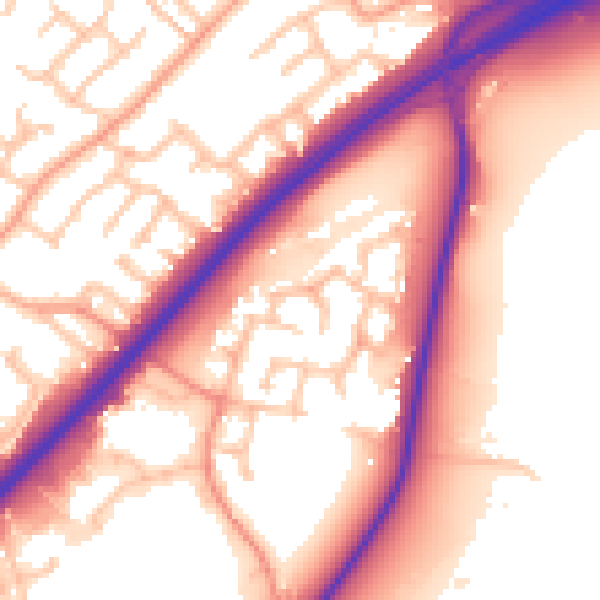
Daytime· 07:00 – 23:00
57.1dB

Night-time· 23:00 – 07:00
48.5dB