34 Dovecliff Crescent, Stretton, Burton On Trent, DE13 0JH
About 34 Dovecliff Crescent
34 Dovecliff Crescent is a three-bedroom property in Stretton, Burton-On-Trent, Burton On Trent (DE13 0JH). It has council tax band B.
Last sale on file: £170,000 in June 2021. That sale was during the post-pandemic price surge, when transactions cleared materially above pre-2020 trend.
What this property has
Inside
- Bedrooms3
- Bathrooms1
- Dining roomYes
Outside
- ParkingOff road
Building
- RefurbishedYes
Everything you need to know about 34 Dovecliff Crescent
The true value, the hidden risks and the full sale history, in one report.
Pick your report · every report is £14.99
One time fee only - money back guarantee

The data behind every report


Energy performance
No EPC on record
This property doesn't have an Energy Performance Certificate yet. An EPC is required to sell or let — and unlocks our automated valuation.
Get a survey for this property
Level 2 HomeBuyer Report
We've checked 10 risk factors against the available data for this property and believe a Level 2 HomeBuyer Report could be a suitable option for you.
Planning history
34 Dovecliff Crescent has no planning applications on record.
But the area is active
13 notable applications nearby — larger schemes and conversions that could reshape the street. The report maps them all.
Sales history & valuation
The latest sale landed in the post-pandemic price surge — useful context when reading the figure.
£170,000
Recorded with HM Land Registry.
Sales timeline
16 June 2021Most recent
£170,000
Median price across the last 5 sales in DE13 0JH: £172,000 (2023–2016).
Nearby sales in DE13 0JH
36 Dovecliff Crescent, Stretton, Burton On Trent, DE13 0JH
Sold Dec 2023
£237,50031 Dovecliff Crescent, Stretton, Burton On Trent, DE13 0JH
Sold Sept 2021
£234,95024 Dovecliff Crescent, Stretton, Burton On Trent, DE13 0JH
Sold Sept 2019
£165,00019a, Dovecliff Crescent, Stretton, Burton On Trent, DE13 0JH
Sold Mar 2018
£158,00039 Dovecliff Crescent, Stretton, Burton On Trent, DE13 0JH
Sold Nov 2016
£172,000
Everything you need to know about 34 Dovecliff Crescent
The true value, the hidden risks and the full sale history, in one report.
Pick your report · every report is £14.99
One time fee only - money back guarantee
The data behind every report
Similar properties nearby
1 Beech Lane, Stretton
DE13 0DU
1 Balata Way
DE13 0TY
1 Bamborough Close, Stretton
DE13 0WD
1 Barrington Close, Stretton
DE13 0YD
1 Beam Close
DE13 0AH
1 Bladon View, Stretton
DE13 0JE
1 Beaconsfield Road
DE13 0NP
1 Althorp Way, Stretton
DE13 0JS
The neighbourhood at a glance
Crime
5/mo
Steady year-on-year across the wider district.
Nearest stop
0.1 km
Dovecliff Crescent — bus stop.
Closest school
0.3 km
William Shrewsbury Primary School. 12 schools nearby.
Go deeper on the local area
A Local Area report breaks down crime, transport links, schools and air quality in depth.
Road noise across the postcode
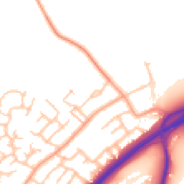
Daytime· 07:00 – 23:00
51.6dB

Night-time· 23:00 – 07:00
42.8dB