6 Carisbrook Drive, Stretton, Burton On Trent, DE13 0BD
About 6 Carisbrook Drive
6 Carisbrook Drive is a three-bedroom semi-detached house in Stretton, Burton-On-Trent, Burton On Trent (DE13 0BD). It has a recorded floor area of 79 m² (around 850 sq ft), construction records dating it to 1991-1995 and council tax band B. The latest certificate (March 2017) shows a D (score 59), a step below the typical UK home. The recommended improvements would lift it to B (score 84), a 2-band jump.
Across 1995–2017, sale prices on this property compounded at 5.8% per year. Today's modelled estimate of £214,000 is 40.8% above the 2017 sale price. On a £-per-square-foot basis, the last sale (£179/sq ft) was about 20% above the typical sold price in the postcode. Last changed hands 9 years ago, in August 2017.
What this property has
Inside
- Bedrooms3
- Bathrooms1
- Dining roomYes
- EnsuiteYes
Outside
- Private gardenYes
Building
- Central heatingYes
Everything you need to know about 6 Carisbrook Drive
The true value, the hidden risks and the full sale history, in one report.
Pick your report · every report is £14.99
One time fee only - money back guarantee

The data behind every report


Energy performance
Recommended upgrades on file would lift this property by multiple EPC bands.
EPC Rating
Get a survey for this property
Level 2 HomeBuyer Report
We've checked 10 risk factors against the available data for this property and believe a Level 2 HomeBuyer Report could be a suitable option for you.
From £545 · Includes VAT
Planning history
6 Carisbrook Drive has no planning applications on record.
But the area is active
13 notable applications nearby — larger schemes and conversions that could reshape the street. The report maps them all.
Sales history & valuation
Sale price has grown by over 3x since 1995.
£214,000
Modelled from EPC, postcode comparables and a sale-price growth of 5.8% per year over 22 years.
£152,000
Growth on file: 5.8% per year over 22 years.
Sales timeline
10 August 2017Most recent
£152,000
+117.1%over 15 years7 February 2002
£70,000
+63.0%over 6 years26 March 1995
£42,950
Median price across the last 5 sales in DE13 0BD: £127,950 (2023–1998).
Nearby sales in DE13 0BD
4 Carisbrook Drive, Stretton, Burton On Trent, DE13 0BD
Sold Jun 2023
£189,5003 Carisbrook Drive, Stretton, Burton On Trent, DE13 0BD
Sold Dec 1998
£51,9505 Carisbrook Drive, Stretton, Burton On Trent, DE13 0BD
Sold Feb 1995
£44,7002 Carisbrook Drive, Stretton, Burton On Trent, DE13 0BD
Sold Jan 1995
£40,000
Everything you need to know about 6 Carisbrook Drive
The true value, the hidden risks and the full sale history, in one report.
Pick your report · every report is £14.99
One time fee only - money back guarantee
The data behind every report
Similar properties nearby
1 Beech Lane, Stretton
DE13 0DU
1 Balata Way
DE13 0TY
1 Bamborough Close, Stretton
DE13 0WD
1 Barrington Close, Stretton
DE13 0YD
1 Beam Close
DE13 0AH
1 Bladon View, Stretton
DE13 0JE
1 Beaconsfield Road
DE13 0NP
1 Althorp Way, Stretton
DE13 0JS
The neighbourhood at a glance
Crime
5/mo
Steady year-on-year across the wider district.
Nearest stop
0.2 km
St Mary's Church — bus stop.
Closest school
0.6 km
William Shrewsbury Primary School. 16 schools nearby.
Go deeper on the local area
A Local Area report breaks down crime, transport links, schools and air quality in depth.
Road noise across the postcode
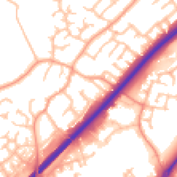
Daytime· 07:00 – 23:00
54.8dB

Night-time· 23:00 – 07:00
45.1dB