3 Carisbrook Drive, Stretton, Burton On Trent, DE13 0BD
About 3 Carisbrook Drive
3 Carisbrook Drive is a property in Stretton, Burton-On-Trent, Burton On Trent (DE13 0BD). It has council tax band B.
Untraded for 27 years, with the last transfer in December 1998. Across 1995–1998, sale prices on this property compounded at 3.6% per year.
Everything you need to know about 3 Carisbrook Drive
The true value, the hidden risks and the full sale history, in one report.
Pick your report · every report is £14.99
One time fee only - money back guarantee

The data behind every report


Energy performance
No EPC on record
This property doesn't have an Energy Performance Certificate yet. An EPC is required to sell or let — and unlocks our automated valuation.
Get a survey for this property
Level 2 HomeBuyer Report
We've checked 10 risk factors against the available data for this property and believe a Level 2 HomeBuyer Report could be a suitable option for you.
Planning history
3 Carisbrook Drive has no planning applications on record.
But the area is active
13 notable applications nearby — larger schemes and conversions that could reshape the street. The report maps them all.
Sales history & valuation
£51,950
Growth on file: 3.6% per year over 4 years.
Sales timeline
18 December 1998Most recent
£51,950
+14.9%over 3 years20 January 1995
£45,200
Median price across the last 5 sales in DE13 0BD: £135,000 (2023–2002).
Nearby sales in DE13 0BD
4 Carisbrook Drive, Stretton, Burton On Trent, DE13 0BD
Sold Jun 2023
£189,5006 Carisbrook Drive, Stretton, Burton On Trent, DE13 0BD
Sold Aug 2017
£152,0005 Carisbrook Drive, Stretton, Burton On Trent, DE13 0BD
Sold Feb 1995
£44,7002 Carisbrook Drive, Stretton, Burton On Trent, DE13 0BD
Sold Jan 1995
£40,000
Everything you need to know about 3 Carisbrook Drive
The true value, the hidden risks and the full sale history, in one report.
Pick your report · every report is £14.99
One time fee only - money back guarantee
The data behind every report
Similar properties nearby
1 Addie Road
DE13 0FU
1 Alderholme Drive, Stretton
DE13 0FJ
1 Alderson Drive, Stretton
DE13 0QQ
1 Almond Court, Stretton
DE13 0HN
1 Althorp Way, Stretton
DE13 0JS
1 Amberlands, Stretton
DE13 0PE
1 Ashford Road
DE13 0QG
1 Balata Way
DE13 0TY
The neighbourhood at a glance
Crime
5/mo
Steady year-on-year across the wider district.
Nearest stop
0.2 km
St Mary's Church — bus stop.
Closest school
0.6 km
William Shrewsbury Primary School. 16 schools nearby.
Go deeper on the local area
A Local Area report breaks down crime, transport links, schools and air quality in depth.
Road noise across the postcode
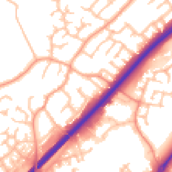
Daytime· 07:00 – 23:00
54.8dB

Night-time· 23:00 – 07:00
45.1dB