90 Beamhill Road, Stretton, Burton On Trent, DE13 0AD
About 90 Beamhill Road
90 Beamhill Road is a property in Stretton, Burton-On-Trent, Burton On Trent (DE13 0AD). It has council tax band D.
Held since May 1996 — that's 30 years off the open market, well above the local norm. Only one transfer is on record with HM Land Registry, suggesting it has stayed in the same hands for a long time. One planning record on file: an extension approved in 2006. Past consents include an extension, meaningful when judging how the property has evolved.
Everything you need to know about 90 Beamhill Road
The true value, the hidden risks and the full sale history, in one report.
Pick your report · every report is £14.99
One time fee only - money back guarantee

The data behind every report


Energy performance
No EPC on record
This property doesn't have an Energy Performance Certificate yet. An EPC is required to sell or let — and unlocks our automated valuation.
Get a survey for this property
Level 2 HomeBuyer Report
We've checked 10 risk factors against the available data for this property and believe a Level 2 HomeBuyer Report could be a suitable option for you.
Planning history
1 application on record at 90 Beamhill Road, Stretton, Burton On Trent, DE13 0AD
- Jun 2006ExtensionFullOutcome in report
Extension: Side of property
Retention of a part single storey, part two storey side extension and a detached garage.
- Documents
- 2 docs on file
- Reference
- HO/24242/009
Unlock 90 Beamhill Road, Stretton, Burton On Trent, DE13 0AD's full planning history
You're seeing the shape of it. The report has the substance.
- Every decision — granted, refused or withdrawn (1 on record)
- All 1 application on this property in full, plus 13 notable nearby
- The 2 documents, officer reports & conditions
- What the pattern means for extending or converting here
One time fee only - money back guarantee
Sales history & valuation
90 Beamhill Road has been held in the same hands since before 2000.
£63,950
Recorded with HM Land Registry.
Sales timeline
23 May 1996Most recent
£63,950
Median price across the last 5 sales in DE13 0AD: £325,000 (2025–2023).
Nearby sales in DE13 0AD
131 Beamhill Road, Stretton, Burton On Trent, DE13 0AD
Sold Mar 2025
£385,000119 Beamhill Road, Stretton, Burton On Trent, DE13 0AD
Sold Sept 2024
£360,000149 Beamhill Road, Stretton, Burton On Trent, DE13 0AD
Sold May 2024
£325,00088 Beamhill Road, Stretton, Burton On Trent, DE13 0AD
Sold Mar 2024
£290,00066 Beamhill Road, Stretton, Burton On Trent, DE13 0AD
Sold Dec 2023
£266,000
Everything you need to know about 90 Beamhill Road
The true value, the hidden risks and the full sale history, in one report.
Pick your report · every report is £14.99
One time fee only - money back guarantee
The data behind every report
Similar properties nearby
1 Addie Road
DE13 0FU
1 Alderholme Drive, Stretton
DE13 0FJ
1 Alderson Drive, Stretton
DE13 0QQ
1 Almond Court, Stretton
DE13 0HN
1 Althorp Way, Stretton
DE13 0JS
1 Amberlands, Stretton
DE13 0PE
1 Ashford Road
DE13 0QG
1 Balata Way
DE13 0TY
The neighbourhood at a glance
Daytime road noise here sits well below conversation level — a quiet pocket of the postcode.
Crime
5/mo
Steady year-on-year across the wider district.
Nearest stop
0.1 km
No 102 — bus stop.
Closest school
0.6 km
St Modwen's Catholic Primary School. 15 schools nearby.
Go deeper on the local area
A Local Area report breaks down crime, transport links, schools and air quality in depth.
Road noise across the postcode
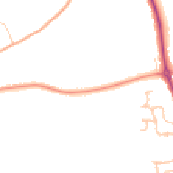
Daytime· 07:00 – 23:00
44.2dB

Night-time· 23:00 – 07:00
37.1dB