1 Beaufort Close, Hartford, Northwich, CW8 1RX
About 1 Beaufort Close
1 Beaufort Close is a three-bedroom detached house in Hartford, Northwich, Northwich (CW8 1RX). It has a recorded floor area of 166 m² (around 1787 sq ft). The latest certificate (March 2020) returns a high B (score 86), putting the home a stone's throw from an A rating. The recommended improvements would push it to A (score 93). The home occupies a corner plot.
At 166 m² the property is well over the postcode median (63 m² across 29 EPCs), placing it in the larger end of the local stock. Today's modelled estimate of £511,000 is 26.8% above the 2020 sale price. On a £-per-square-foot basis, the last sale (£226/sq ft) was about 75.3% above the typical sold price in the postcode. Most recent transfer: April 2020 at £402,995.
Know exactly what you're buying at 1 Beaufort Close
Before you offer, see what the listing won't tell you, the true value, the red flags and the full history.
Valuation
against the asking price
Risks
planning & flood
Sold prices
similar homes nearby
Trends
the local market
What this property has
Inside
- Bedrooms3
- Bathrooms3
- EnsuiteYes
Outside
- Private gardenYes
- GarageYes
- Corner plotYes
Energy performance
EPC Rating
Planning history
1 Beaufort Close has no planning applications on record.
Notable planning nearby
2applications of note in the surrounding area
Sales history & valuation
The latest sale landed in the post-pandemic price surge — useful context when reading the figure.
£511,000
Modelled from EPC, postcode comparables.
£402,995
Recorded with HM Land Registry.
Sales timeline
16 April 2020Most recent
£402,995
Median price across the last 5 sales in CW8 1RX: £90,000 (2024–2020).
Everything we know about 1 Beaufort Close, in one report
What it's really worth, what could be wrong, and the planning, sales and area data in full.
- Am I paying too much?
- Is something wrong with it?
- Is the agent's story true?
- Will it hold its value?

Versus other Beaufort Close homes
On years held, 1 Beaufort Close stands well clear of the street.
Price per m²
£2,428
Street avg £3,092
Floor Area
166 m²
Street avg 62 m²
CO₂ Emissions
2.2 t/year
Street avg 0.9 t/year
Years Held
6 years
Street avg 3 years
Similar properties nearby
1 Charnley Drive, Hartford
CW8 1TT
1 Chantry Avenue, Hartford
CW8 1LZ
1 Beechfield Gardens, Hartford
CW8 1LQ
1 Abbey Lane, Hartford
CW8 1LX
1 Abbey Way, Hartford
CW8 1LY
1 Brereton Road, Hartford
CW8 1RL
1 Athelbrae Close
CW8 1EA
1 Chipstead Close, Hartford
CW8 1ST
The neighbourhood at a glance
Rail-style transport is unusually close for this postcode.
Crime
3/mo
Steady year-on-year across the wider district.
Nearest stop
0.5 km
Railway Station — bus stop.
Closest school
0.8 km
Hartford Primary School. 15 schools nearby.
Go deeper on the local area
The full report breaks down crime, transport links, schools and air quality in depth.
Road noise across the postcode
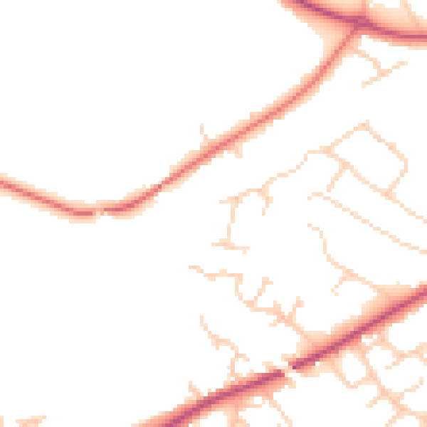
Daytime· 07:00 – 23:00
46.9dB

Night-time· 23:00 – 07:00
38.3dB