9 Croxton Way, Hartford, Northwich, CW8 1RN
About 9 Croxton Way
9 Croxton Way is a property in Hartford, Northwich, Northwich (CW8 1RN). It has council tax band C.
On the market in November 2016 and unlisted since — roughly 10 years. Across 1996–2016, sale prices on this property compounded at 9.4% per year.
Know exactly what you're buying at 9 Croxton Way
Before you offer, see what the listing won't tell you, the true value, the red flags and the full history.
Valuation
against the asking price
Risks
planning & flood
Sold prices
similar homes nearby
Trends
the local market
Energy performance
No EPC on record
This property doesn't have an Energy Performance Certificate yet. An EPC is required to sell or let — and unlocks our automated valuation.
Planning history
9 Croxton Way has no planning applications on record.
Notable planning nearby
2applications of note in the surrounding area
Sales history & valuation
9 Croxton Way has more than quadrupled in price since its earliest registered sale in 1996.
£150,000
Growth on file: 9.4% per year over 20 years.
Sales timeline
9 November 2016Most recent
£150,000
+150.2%over 19 years18 August 1997
£59,950
+144.7%over 11 months23 September 1996
£24,500
Median price across the last 5 sales in CW8 1RN: £159,000 (2022–1997).
Everything we know about 9 Croxton Way, in one report
What it's really worth, what could be wrong, and the planning, sales and area data in full.
- Am I paying too much?
- Is something wrong with it?
- Is the agent's story true?
- Will it hold its value?

Similar properties nearby
1 Beechfield Gardens, Hartford
CW8 1LQ
1 Chipstead Close, Hartford
CW8 1ST
1 Chantry Avenue, Hartford
CW8 1LZ
1 Brereton Road, Hartford
CW8 1RL
1 Charnley Drive, Hartford
CW8 1TT
1 Booth Road, Hartford
CW8 1RB
1 Abbey Way, Hartford
CW8 1LY
1 Brocklebank Drive
CW8 1ES
The neighbourhood at a glance
Rail-style transport is unusually close for this postcode.
Crime
3/mo
Steady year-on-year across the wider district.
Nearest stop
0.2 km
Hartford Rail Station — railway station.
Closest school
0.2 km
Hartford Primary School. 17 schools nearby.
Go deeper on the local area
The full report breaks down crime, transport links, schools and air quality in depth.
Road noise across the postcode
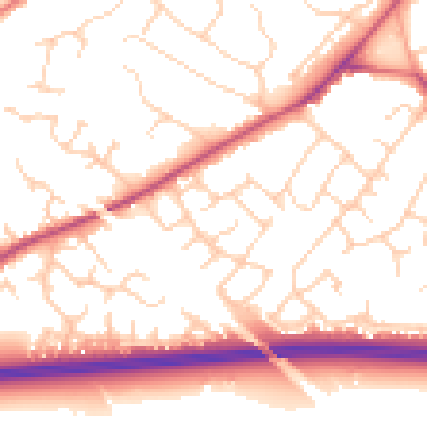
Daytime· 07:00 – 23:00
53.3dB

Night-time· 23:00 – 07:00
43.9dB