15 Battersby Close, Warwick, CV34 7AS
About 15 Battersby Close
15 Battersby Close is a five-bedroom detached house in Warwick (CV34 7AS). It has a recorded floor area of 144 m² (around 1550 sq ft) and council tax band G. The latest certificate (January 2017) returns a high B (score 86), putting the home a stone's throw from an A rating. The recommended improvements would push it to A (score 94).
At 144 m² the property is well over the postcode median (85 m² across 18 EPCs), placing it in the larger end of the local stock. Across 2017–2023, sale prices on this property compounded at 3% per year. Sold May 2023 for £612,000.
Know exactly what you're buying at 15 Battersby Close
Before you offer, see what the listing won't tell you, the true value, the red flags and the full history.
Valuation
against the asking price
Risks
planning & flood
Sold prices
similar homes nearby
Trends
the local market
What this property has
Inside
- Bedrooms5
- Bathrooms2
- EnsuiteYes
Outside
- Private gardenRear
- GarageYes
Energy performance
EPC Rating
Planning history
15 Battersby Close has no planning applications on record.
The full report still covers planning activity across the surrounding area.
Sales history & valuation
Latest sale on 15 Battersby Close was the highest on Land Registry record across the postcode.
£646,000
Modelled from EPC, postcode comparables and a sale-price growth of 3.0% per year over 6 years.
£612,000
Growth on file: 3.0% per year over 6 years.
Sales timeline
11 May 2023Most recent
£612,000
+20.0%over 6 years10 March 2017
£509,995
Median price across the last 5 sales in CV34 7AS: £467,500 (2025–2017).
Nearby sales in CV34 7AS
Everything we know about 15 Battersby Close, in one report
What it's really worth, what could be wrong, and the planning, sales and area data in full.
- Am I paying too much?
- Is something wrong with it?
- Is the agent's story true?
- Will it hold its value?

Versus other Battersby Close homes
On epc rating, 15 Battersby Close stands well clear of the street.
Price per m²
£4,250
Street avg £4,148
Floor Area
144 m²
Street avg 97 m²
CO₂ Emissions
1.8 t/year
Street avg 1.5 t/year
Years Held
3 years
Street avg 8 years
Similar properties nearby
The neighbourhood at a glance
Reported crime in the wider district is trending notably upward year-on-year.
Crime
5/mo
Rising year-on-year across the wider district.
Nearest stop
0.1 km
Nightingale Avenue — bus stop.
Closest school
0.4 km
Heathcote Primary School. 21 schools nearby.
Go deeper on the local area
The full report breaks down crime, transport links, schools and air quality in depth.
Road noise across the postcode
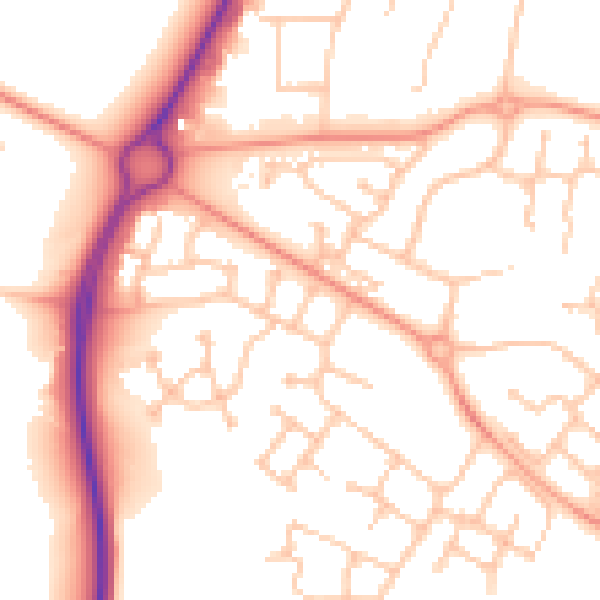
Daytime· 07:00 – 23:00
53.7dB

Night-time· 23:00 – 07:00
42.9dB