11 Brierley Road, Coventry, CV2 1RT
About 11 Brierley Road
11 Brierley Road is a two-bedroom mid-terrace house in Coventry (CV2 1RT). It has a recorded floor area of 63 m² (around 678 sq ft), construction records dating it to 1950-1966 and council tax band A. The latest certificate (April 2017) shows a D (score 62), on the cusp of jumping into the C band. The recommended improvements would push it to C (score 79).
A recent sale: £180,000 in October 2025. Across the public record there are 4 sales, relatively high churn for a single property. Across 2008–2025, sale prices on this property compounded at 3.1% per year. On a £-per-square-foot basis, the last sale (£265/sq ft) was about 136.2% above the typical sold price in the postcode.
What this property has
Inside
- Bedrooms2
- Bathrooms1
- EnsuiteYes
Everything you need to know about 11 Brierley Road
The true value, the hidden risks and the full sale history, in one report.
30-day money-back guarantee

The data behind every report


Energy performance
EPC Rating
Planning history
11 Brierley Road has no planning applications on record.
Notable planning nearby
5applications of note in the surrounding area
We flagged 1 thing worth checking at 11 Brierley Road
Independent checks surfaced things a buyer would want to understand before offering. The report explains each one in full, with the underlying data and what to ask.
- Larger development activity nearby
30-day money-back guarantee
Sales history & valuation
Latest sale on 11 Brierley Road was the highest on Land Registry record across the postcode.
£175,000
Modelled from EPC, postcode comparables and a sale-price growth of 3.1% per year over 17 years.
£180,000
Growth on file: 3.1% per year over 17 years.
Sales timeline
19 October 2025Most recent
£180,000
+45.2%over 6 years29 April 2019
£124,000
8 August 2017
£124,000
+18.1%over 9 years22 May 2008
£105,000
Median price across the last 5 sales in CV2 1RT: £140,000 (2024–2013).
Versus other Brierley Road homes
Price per m² for 11 Brierley Road runs comfortably ahead of the street norm.
Price per m²
£2,857
Street avg £1,870
Floor Area
63 m²
Street avg 65 m²
Habitable Rooms
3 rooms
Street avg 3 rooms
CO₂ Emissions
3.3 t/year
Street avg 2.8 t/year
Everything you need to know about 11 Brierley Road
The true value, the hidden risks and the full sale history, in one report.
30-day money-back guarantee
The data behind every report
Similar properties nearby
The neighbourhood at a glance
Reported crime in the wider district is trending notably upward year-on-year.
Crime
6/mo
Rising year-on-year across the wider district.
Nearest stop
2.6 km
Coventry Arena Rail Station — railway station.
Closest school
0.5 km
Henley Green Primary. 40 schools nearby.
Go deeper on the local area
The full report breaks down crime, transport links, schools and air quality in depth.
Road noise across the postcode
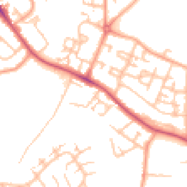
Daytime· 07:00 – 23:00
50.0dB

Night-time· 23:00 – 07:00
40.3dB