10 Carra Close, Nuneaton, CV10 0UB
About 10 Carra Close
10 Carra Close is a three-bedroom detached house in Nuneaton (CV10 0UB). It has a recorded floor area of 94 m² (around 1012 sq ft) and council tax band E. The latest certificate (October 2013) shows a C (score 79), near the top of the C band. The latest certificate is from October 2013, so improvements made since then won't be reflected.
At 94 m² the property is well over the postcode median (69 m² across 12 EPCs), placing it in the larger end of the local stock. Across 2013–2017, sale prices on this property compounded at 4.5% per year. Today's modelled estimate of £292,000 is 32.7% above the 2017 sale price. On a £-per-square-foot basis, the last sale (£217/sq ft) was about 17.8% above the typical sold price in the postcode. Last sold in April 2017, so it's been off the market for around 9 years.
Know exactly what you're buying at 10 Carra Close
Before you offer, see what the listing won't tell you, the true value, the red flags and the full history.
Valuation
against the asking price
Risks
planning & flood
Sold prices
similar homes nearby
Trends
the local market
What this property has
Inside
- Bedrooms3
- Bathrooms2
Energy performance
10 Carra Close's EPC is over a decade old — improvements since won't be reflected.
EPC Expired
This certificate is over 10 years old and is no longer valid.Expired 17 Oct 2023
EPC Rating
Planning history
10 Carra Close has no planning applications on record.
Notable planning nearby
1applications of note in the surrounding area
Sales history & valuation
10 Carra Close valuation sits well clear of the typical sold price in this postcode.
£292,000
Modelled from EPC, postcode comparables and a sale-price growth of 4.5% per year over 3 years.
£220,000
Growth on file: 4.5% per year over 3 years.
Sales timeline
19 April 2017Most recent
£220,000
+15.8%over 3 years19 December 2013
£189,995
Median price across the last 5 sales in CV10 0UB: £210,000 (2025–2023).
Everything we know about 10 Carra Close, in one report
What it's really worth, what could be wrong, and the planning, sales and area data in full.
- Am I paying too much?
- Is something wrong with it?
- Is the agent's story true?
- Will it hold its value?

Versus other Carra Close homes
10 Carra Close outperforms the street on floor area by a wide margin.
Price per m²
£2,340
Street avg £2,356
Floor Area
94 m²
Street avg 69 m²
CO₂ Emissions
1.9 t/year
Street avg 1.6 t/year
Years Held
9 years
Street avg 8 years
Similar properties nearby
1 Atherstone Road, Hartshill
CV10 0SP
1 Ash Drive, Hartshill
CV10 0XL
1 Beech Close, Hartshill
CV10 0XJ
1 Brookdale Road
CV10 0BL
1 Ashbrook Rise
CV10 0UH
1 Brading Road
CV10 0DA
1 Berrington Road
CV10 0LA
1 Caldecote Mews, Caldecote Hall Drive, Caldecote
CV10 0TW
The neighbourhood at a glance
Reported crime in the wider district is trending notably upward year-on-year.
Crime
5/mo
Rising year-on-year across the wider district.
Nearest stop
0.2 km
Currane Road — bus stop.
Closest school
0.5 km
Abbey CofE Infant School. 27 schools nearby.
Go deeper on the local area
The full report breaks down crime, transport links, schools and air quality in depth.
Road noise across the postcode
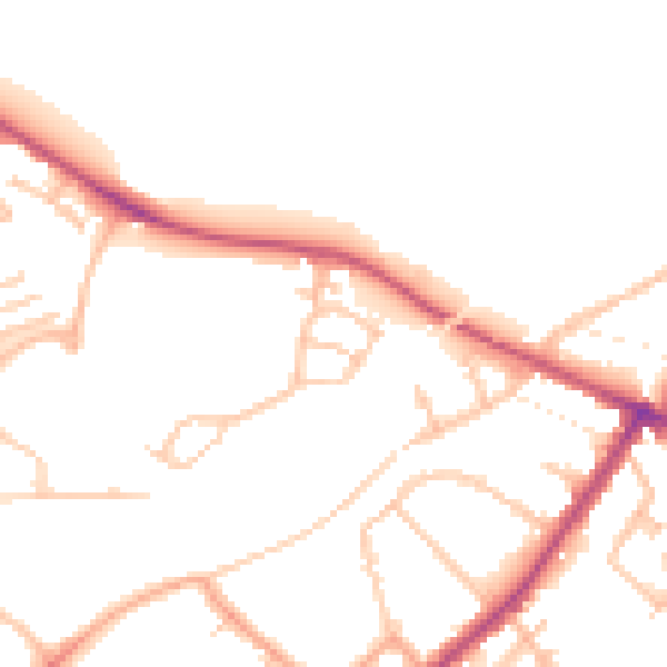
Daytime· 07:00 – 23:00
47.9dB
Night-time· 23:00 – 07:00
39.5dB