7 Queensway, Nuneaton, CV10 0DE
About 7 Queensway
7 Queensway is a semi-detached house in Nuneaton (CV10 0DE). It has a recorded floor area of 81 m² (around 872 sq ft), construction records dating it to 1967-1975 and council tax band C. The latest certificate (May 2024) shows a C (score 70). The recommended improvements would push it to B (score 86).
It hasn't traded since November 2002, a hold of 24 years that's notably long for the area. On energy efficiency it sits in the top 10% of properties in this postcode. Across 1995–2002, sale prices on this property compounded at 5.4% per year. Today's modelled estimate of £237,000 sits 229.2% above the 2002 sale of £72,000. On a £-per-square-foot basis, the last sale (£83/sq ft) was about 56.4% below the postcode norm.
Know exactly what you're buying at 7 Queensway
Before you offer, see what the listing won't tell you, the true value, the red flags and the full history.
Valuation
against the asking price
Risks
planning & flood
Sold prices
similar homes nearby
Trends
the local market
Energy performance
7 Queensway ranks among the most efficient homes in the postcode for energy use.
EPC Rating
Planning history
7 Queensway has no planning applications on record.
Notable planning nearby
1applications of note in the surrounding area
Sales history & valuation
7 Queensway's modelled value sits at over four times its earliest registered sale price (1995).
£237,000
Modelled from EPC, postcode comparables and a sale-price growth of 5.4% per year over 8 years.
£72,000
Growth on file: 5.4% per year over 8 years.
Sales timeline
29 November 2002Most recent
£72,000
+50.0%over 7 years9 April 1995
£48,000
Median price across the last 5 sales in CV10 0DE: £250,000 (2025–2024).
Everything we know about 7 Queensway, in one report
What it's really worth, what could be wrong, and the planning, sales and area data in full.
- Am I paying too much?
- Is something wrong with it?
- Is the agent's story true?
- Will it hold its value?

Versus other Queensway homes
7 Queensway is notably below the street on price per m².
Price per m²
£889
Street avg £2,402
Floor Area
81 m²
Street avg 80 m²
Habitable Rooms
4 rooms
Street avg 5 rooms
CO₂ Emissions
3.1 t/year
Street avg 4.2 t/year
Similar properties nearby
1 Castle Road
CV10 0EN
1 Carisbrook Road
CV10 0BU
1 Brookdale Road
CV10 0BL
1 Ansley Hall, Coleshill Road, Ansley Common
CV10 0QG
1 Bluebell Close, Hartshill
CV10 0AU
1 Arlon Avenue
CV10 0JY
1 Ash Drive, Hartshill
CV10 0XL
1 Caldecote Mews, Caldecote Hall Drive, Caldecote
CV10 0TW
The neighbourhood at a glance
Rail-style transport is unusually close for this postcode.
Crime
5/mo
Rising year-on-year across the wider district.
Nearest stop
0.2 km
Kingsbridge Road — bus stop.
Closest school
0.3 km
Higham Lane School. 21 schools nearby.
Go deeper on the local area
The full report breaks down crime, transport links, schools and air quality in depth.
Road noise across the postcode
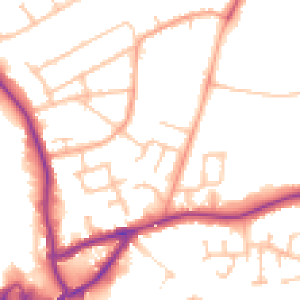
Daytime· 07:00 – 23:00
50.7dB

Night-time· 23:00 – 07:00
42.5dB