25 Queensway, Nuneaton, CV10 0DE
About 25 Queensway
25 Queensway is a three-bedroom semi-detached house in Nuneaton (CV10 0DE). It has a recorded floor area of 72 m² (around 775 sq ft), construction records dating it to 1967-1975 and council tax band C. The latest certificate (February 2024) shows a D (score 60), on the cusp of jumping into the C band. The recommended improvements would lift it to B (score 87), a 2-band jump. The home occupies a cul-de-sac position.
Today's modelled estimate of £239,000 is 12.7% above the 2024 sale price. On a £-per-square-foot basis, the last sale (£274/sq ft) was about 46.7% above the typical sold price in the postcode. Most recent transfer: October 2024 at £212,000.
Know exactly what you're buying at 25 Queensway
Before you offer, see what the listing won't tell you, the true value, the red flags and the full history.
Valuation
against the asking price
Risks
planning & flood
Sold prices
similar homes nearby
Trends
the local market
What this property has
Inside
- Bedrooms3
- Bathrooms1
Outside
- Cul-de-sacYes
Energy performance
Recommended upgrades on file would lift this property by multiple EPC bands.
EPC Rating
Planning history
25 Queensway has no planning applications on record.
Notable planning nearby
1applications of note in the surrounding area
Sales history & valuation
25 Queensway valuation sits well clear of the typical sold price in this postcode.
£239,000
Modelled from EPC, postcode comparables.
£212,000
Recorded with HM Land Registry.
Sales timeline
24 October 2024Most recent
£212,000
Median price across the last 5 sales in CV10 0DE: £250,000 (2025–2024).
Everything we know about 25 Queensway, in one report
What it's really worth, what could be wrong, and the planning, sales and area data in full.
- Am I paying too much?
- Is something wrong with it?
- Is the agent's story true?
- Will it hold its value?

Versus other Queensway homes
On price per m², 25 Queensway stands well clear of the street.
Price per m²
£2,944
Street avg £2,313
Floor Area
72 m²
Street avg 80 m²
Habitable Rooms
4 rooms
Street avg 5 rooms
CO₂ Emissions
4.1 t/year
Street avg 4.1 t/year
Similar properties nearby
1 Ash Drive, Hartshill
CV10 0XL
1 Atherstone Road, Hartshill
CV10 0SP
1 Brookdale Road
CV10 0BL
1 Beech Close, Hartshill
CV10 0XJ
1 Ashbrook Rise
CV10 0UH
1 Brading Road
CV10 0DA
1 Carisbrook Road
CV10 0BU
1 Castle Road
CV10 0EN
The neighbourhood at a glance
Rail-style transport is unusually close for this postcode.
Crime
5/mo
Rising year-on-year across the wider district.
Nearest stop
0.2 km
Kingsbridge Road — bus stop.
Closest school
0.3 km
Higham Lane School. 21 schools nearby.
Go deeper on the local area
The full report breaks down crime, transport links, schools and air quality in depth.
Road noise across the postcode
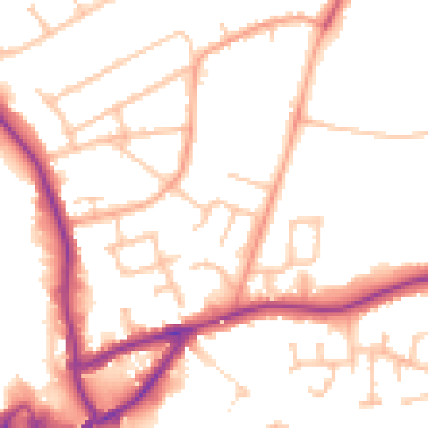
Daytime· 07:00 – 23:00
50.7dB

Night-time· 23:00 – 07:00
42.5dB