10 Coundon Street, Coventry, CV1 4AS
About 10 Coundon Street
10 Coundon Street is a two-bedroom mid-terrace house in Coventry (CV1 4AS). It has a recorded floor area of 93 m² (around 1001 sq ft), construction records dating it to 1930-1949 and council tax band B. The latest certificate (July 2022) shows a D (score 67), on the cusp of jumping into the C band. The recommended improvements would lift it to B (score 87), a 2-band jump.
It lags the bulk of the postcode on energy efficiency (less efficient than 73% of similar EPCs). Across 2011–2023, sale prices on this property compounded at 3% per year. Today's modelled estimate of £214,000 is 12.6% above the 2023 sale price. On a £-per-square-foot basis, the last sale (£190/sq ft) was about 122.5% above the typical sold price in the postcode. Most recent transfer: April 2023 at £190,000.
Know exactly what you're buying at 10 Coundon Street
Before you offer, see what the listing won't tell you, the true value, the red flags and the full history.
Already flagged here
Valuation
against the asking price
Risks
planning & flood
Sold prices
similar homes nearby
Trends
the local market
What this property has
Inside
- Bedrooms2
- Bathrooms1
Energy performance
Recommended upgrades on file would lift this property by multiple EPC bands.
EPC Rating
Planning history
10 Coundon Street has no planning applications on record.
Notable planning nearby
21applications of note in the surrounding area
We flagged 2 things worth checking at 10 Coundon Street
Independent checks surfaced things a buyer would want to understand before offering. The report explains each one in full, with the underlying data and what to ask.
- Signs of HMO activity in the area
- Larger development activity nearby
30-day money-back guarantee
Sales history & valuation
10 Coundon Street valuation sits well clear of the typical sold price in this postcode.
£214,000
Modelled from EPC, postcode comparables and a sale-price growth of 3.0% per year over 12 years.
£190,000
Growth on file: 3.0% per year over 12 years.
Sales timeline
26 April 2023Most recent
£190,000
+40.7%over 11 years2 October 2011
£135,000
Median price across the last 5 sales in CV1 4AS: £270,000 (2024–2017).
Nearby sales in CV1 4AS
Everything we know about 10 Coundon Street, in one report
What it's really worth, what could be wrong, and the planning, sales and area data in full.
What we flagged
- Signs of HMO activity in the area
- Larger development activity nearby

Versus other Coundon Street homes
10 Coundon Street is notably below the street on habitable rooms.
Price per m²
£2,043
Street avg £2,233
Floor Area
93 m²
Street avg 144 m²
Habitable Rooms
3 rooms
Street avg 7 rooms
CO₂ Emissions
3.7 t/year
Street avg 5.7 t/year
Similar properties nearby
The neighbourhood at a glance
Reported crime in the wider district is trending notably upward year-on-year.
Crime
11/mo
Rising year-on-year across the wider district.
Nearest stop
1.4 km
Coventry Rail Station — railway station.
Closest school
0.2 km
St Osburg's Catholic Primary School. 41 schools nearby.
Go deeper on the local area
The full report breaks down crime, transport links, schools and air quality in depth.
Road noise across the postcode
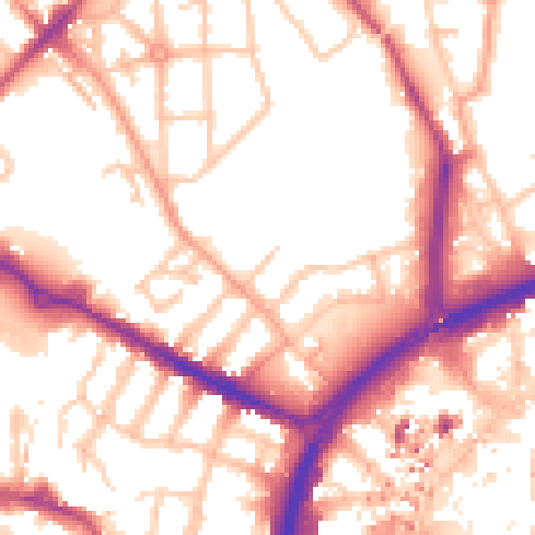
Daytime· 07:00 – 23:00
54.8dB

Night-time· 23:00 – 07:00
45.0dB