8 Coundon Street, Coventry, CV1 4AS
About 8 Coundon Street
8 Coundon Street is a three-bedroom property in Coventry (CV1 4AS). It has council tax band C. Other recorded features include notable views. Period features are noted in the property record. Our model identifies extension potential, subject to local planning policy.
Held since June 2007 — that's 19 years off the open market, well above the local norm. That sale landed at the peak of the pre-credit-crunch market, which is a useful reference point when interpreting the price.
Know exactly what you're buying at 8 Coundon Street
Before you offer, see what the listing won't tell you, the true value, the red flags and the full history.
Already flagged here
Valuation
against the asking price
Risks
planning & flood
Sold prices
similar homes nearby
Trends
the local market
What this property has
Inside
- Bedrooms3
- Bathrooms1
Outside
- Private gardenYes
- Notable viewsYes
Building
- Period featuresYes
- RefurbishedYes
- Extension potentialPossible
Energy performance
No EPC on record
This property doesn't have an Energy Performance Certificate yet. An EPC is required to sell or let — and unlocks our automated valuation.
Planning history
8 Coundon Street has no planning applications on record.
Notable planning nearby
21applications of note in the surrounding area
We flagged 2 things worth checking at 8 Coundon Street
Independent checks surfaced things a buyer would want to understand before offering. The report explains each one in full, with the underlying data and what to ask.
- Signs of HMO activity in the area
- Larger development activity nearby
30-day money-back guarantee
Sales history & valuation
The latest sale landed at the peak of the pre-credit-crunch market — a high-water reference point.
£134,000
Recorded with HM Land Registry.
Sales timeline
21 June 2007Most recent
£134,000
Median price across the last 5 sales in CV1 4AS: £252,000 (2024–2018).
Nearby sales in CV1 4AS
Everything we know about 8 Coundon Street, in one report
What it's really worth, what could be wrong, and the planning, sales and area data in full.
What we flagged
- Signs of HMO activity in the area
- Larger development activity nearby

Similar properties nearby
The neighbourhood at a glance
Reported crime in the wider district is trending notably upward year-on-year.
Crime
11/mo
Rising year-on-year across the wider district.
Nearest stop
1.4 km
Coventry Rail Station — railway station.
Closest school
0.2 km
St Osburg's Catholic Primary School. 41 schools nearby.
Go deeper on the local area
The full report breaks down crime, transport links, schools and air quality in depth.
Road noise across the postcode
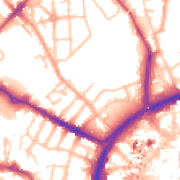
Daytime· 07:00 – 23:00
54.8dB

Night-time· 23:00 – 07:00
45.0dB