Are you a property professional?Get qualified leads from motivated homeowners.
Get started1 Dulverton Road, South Croydon, CR2 8PJ
5 planning records
About 1 Dulverton Road
A plain-English summary derived from public records, EPC certificates, sold prices and local data.
1 Dulverton Road is a semi-detached house in South Croydon (CR2 8PJ). It has a recorded floor area of 144 m² (around 1550 sq ft), construction records dating it to 1930-1949 and council tax band E. The latest certificate (December 2020) shows a C (score 69), just inside the C band. The rating has held steady at C across 2 certificates since October 2020. Between certificates, wall efficiency dropped from Average to Poor and window efficiency dropped from Good to Average. The recommended improvements would push it to B (score 82).
At 144 m² the property is well over the postcode median (99 m² across 24 EPCs), placing it in the larger end of the local stock. 5 planning records sit against the property, 5 approved, 0 refused. Past consents include an extension and tree works, meaningful when judging how the property has evolved.
Energy performance
Every EPC certificate filed against this property — current rating, recorded improvements, and where there's headroom to reach a higher band.
Current Certificate(1 of 2)
Dec 2020
EPC Rating
A
B
C
C69
D
E
F
G
Main Heating
Gas
Main Fuel
Gas
Hot Water
Good
Windows
Average
CO2 Emissions
4.6 t/year
Occupancy
Owner Occupied
Planning history
Applications and permits filed against 1 Dulverton Road, South Croydon, CR2 8PJ, sourced from the PlanIt planning register.
1 Dulverton Road has been through 5 approved planning applications — a well-evolved property.
- Jun 2021ConditionsGranted
Discharge of condition 3 (External Facing Materials-details), 4 (Carbon Emissions/Water Use), 5 (Water Use), 6 (Construction Logistics Plan), 9 (Surface Water Drainage), 12 (Electric vehicle Charging Points) attached to planning permission 20/00792/FUL for Erection of a three bedroom, detached, two-storey house with accommodation in the roof to land adjacent to existing semi-detached house with associated parking, cycle and refuse storage
Sales history & valuation
Recorded transactions, our model's current estimate, and a quick read on what neighbouring properties have sold for.
1 Dulverton Road has no Land Registry sales on file, suggesting it has stayed in the same hands since registration began.
Current estimate
See how we calculated this£613,000
Modelled from EPC, postcode comparables.
No sales recorded with HM Land Registry
That can mean the property has never traded since the registry began publishing in 1995, was a new build that hasn't been registered yet, or is held in the same hands long-term.
Versus other Dulverton Road homes
Four headline reads against 18 similar houses on this street, drawn from the latest EPC and Land Registry data.
Floor Area for 1 Dulverton Road runs comfortably ahead of the street norm.
EPC Rating
69 (C)
Street avg 64 (D)
Floor Area
144 m²
Street avg 108 m²
CO₂ Emissions
4.6 t/year
Similar properties nearby
A handful of close matches in the same postcode area, ranked by likeness on bedrooms, type and floor area.
The neighbourhood at a glance
A condensed read of the local area. Each tile links through to the full breakdown on the South Croydon district page.
Reported crime in the wider district is trending notably upward year-on-year.
Crime
5/mo
Rising year-on-year across the wider district.
Nearest stop
0.1 km
Road noise across the postcode
Modelled day and night-time noise levels around CR2 8PJ from Defra's strategic mapping. The pin marks this postcode's centroid.
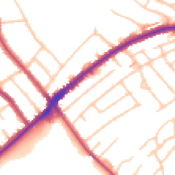
Daytime· 07:00 – 23:00
50.7dB

Everything within walking distance
Schools, transport stops and scenic spots near this property — 48 points of interest in total.
Beautiful places to visit nearby
Curated scenic spots within reach of this postcode, served by Beautifulplaces.ai. Photography and tagging come from their open dataset.
Common questions
The questions buyers, sellers and homeowners most often ask about 1 Dulverton Road, South Croydon, CR2 8PJ. Each answer is also embedded as structured data for search engines.