14 Old Palace Road, Croydon, CR0 1AX
About 14 Old Palace Road
14 Old Palace Road is a three-bedroom mid-terrace house in Croydon (CR0 1AX). It has a recorded floor area of 71 m² (around 764 sq ft), construction records dating it to before 1900 and council tax band C. The latest certificate (March 2023) shows a D (score 62), on the cusp of jumping into the C band. The rating has held steady at D across 2 certificates since September 2016. Between certificates, wall efficiency went from Very Poor to Good. The recommended improvements would push it to C (score 77). Period features are noted in the property record.
At 71 m² it's 22.4% larger than the typical home in the postcode (58 m² median across 35 EPCs). 9 years since the last transfer (February 2017). Today's modelled estimate of £411,000 is 17.4% above the 2017 sale price.
What this property has
Inside
- Bedrooms3
- Dining roomYes
Outside
- Private gardenRear
Building
- Heating systemGas
- Period featuresYes
- RefurbishedYes
Everything you need to know about 14 Old Palace Road
The true value, the hidden risks and the full sale history, in one report.
30-day money-back guarantee

The data behind every report


Energy performance
EPC Rating
Property Improvements
Changes detected from historical EPC data
Heating controls changed
Wall insulation improved
Planning history
14 Old Palace Road has no planning applications on record.
Notable planning nearby
32applications of note in the surrounding area
We flagged 2 things worth checking at 14 Old Palace Road
Independent checks surfaced things a buyer would want to understand before offering. The report explains each one in full, with the underlying data and what to ask.
- Signs of HMO activity in the area
- Larger development activity nearby
30-day money-back guarantee
Sales history & valuation
£411,000
Modelled from EPC, postcode comparables.
£350,000
Recorded with HM Land Registry.
Sales timeline
23 February 2017Most recent
£350,000
Median price across the last 5 sales in CR0 1AX: £380,000 (2021–2016).
Versus other Old Palace Road homes
Habitable Rooms for 14 Old Palace Road runs comfortably ahead of the street norm.
Price per m²
£4,930
Street avg £5,268
Floor Area
71 m²
Street avg 69 m²
Habitable Rooms
5 rooms
Street avg 4 rooms
CO₂ Emissions
3.2 t/year
Street avg 3.1 t/year
Everything you need to know about 14 Old Palace Road
The true value, the hidden risks and the full sale history, in one report.
30-day money-back guarantee
The data behind every report
Similar properties nearby
The neighbourhood at a glance
Rail-style transport is unusually close for this postcode.
Crime
6/mo
Steady year-on-year across the wider district.
Nearest stop
0.1 km
Church Street Tram Stop — subway entrance.
Closest school
0.5 km
The Minster Junior School. 52 schools nearby.
Go deeper on the local area
The full report breaks down crime, transport links, schools and air quality in depth.
Road noise across the postcode
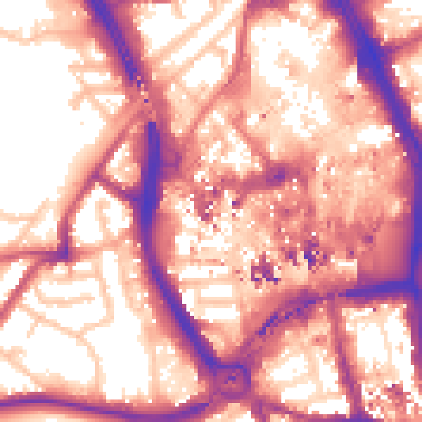
Daytime· 07:00 – 23:00
60.0dB

Night-time· 23:00 – 07:00
50.7dB