43 Bolsin Drive, Colchester, CO4 5FD
About 43 Bolsin Drive
43 Bolsin Drive is a four-bedroom property in Colchester (CO4 5FD). It has council tax band E. Other recorded features include outbuildings.
Untraded for 21 years, with the last transfer in September 2005. Across 2004–2005, sale prices on this property compounded at 4.7% per year.
Know exactly what you're buying at 43 Bolsin Drive
Before you offer, see what the listing won't tell you, the true value, the red flags and the full history.
Already flagged here
Valuation
against the asking price
Risks
planning & flood
Sold prices
similar homes nearby
Trends
the local market
What this property has
Inside
- Bedrooms4
- Dining roomYes
- Utility roomYes
- CloakroomYes
- EnsuiteYes
- StudyYes
Outside
- Private gardenRear
- GarageDouble
- OutbuildingsYes
Energy performance
No EPC on record
This property doesn't have an Energy Performance Certificate yet. An EPC is required to sell or let — and unlocks our automated valuation.
Planning history
43 Bolsin Drive has no planning applications on record.
Notable planning nearby
14applications of note in the surrounding area
We flagged 2 things worth checking at 43 Bolsin Drive
Independent checks surfaced things a buyer would want to understand before offering. The report explains each one in full, with the underlying data and what to ask.
- Signs of HMO activity in the area
- Larger development activity nearby
30-day money-back guarantee
Sales history & valuation
43 Bolsin Drive changed hands twice within eighteen months — unusual for the area.
£249,000
Growth on file: 4.7% per year over 1 year.
Sales timeline
22 September 2005Most recent
£249,000
+6.0%over 1 year17 June 2004
£234,950
Median price across the last 5 sales in CO4 5FD: £355,000 (2025–2025).
Nearby sales in CO4 5FD
Everything we know about 43 Bolsin Drive, in one report
What it's really worth, what could be wrong, and the planning, sales and area data in full.
What we flagged
- Signs of HMO activity in the area
- Larger development activity nearby

Similar properties nearby
The neighbourhood at a glance
Crime
5/mo
Steady year-on-year across the wider district.
Nearest stop
0.2 km
Link Close — bus stop.
Closest school
0.2 km
Myland Community Primary School. 20 schools nearby.
Go deeper on the local area
The full report breaks down crime, transport links, schools and air quality in depth.
Road noise across the postcode
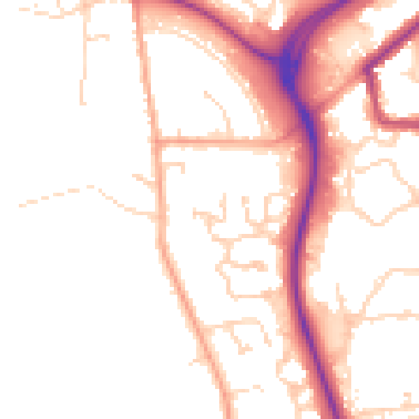
Daytime· 07:00 – 23:00
50.8dB

Night-time· 23:00 – 07:00
41.9dB