90 Broadlands Way, Colchester, CO4 0AR
About 90 Broadlands Way
90 Broadlands Way is a three-bedroom semi-detached house in Colchester (CO4 0AR). It has a recorded floor area of 79 m² (around 850 sq ft), construction records dating it to 1950-1966 and council tax band C. The latest certificate (September 2016) shows a D (score 66), on the cusp of jumping into the C band. The recommended improvements would push it to C (score 80).
Today's modelled estimate of £328,000 is 31.2% above the 2017 sale price. On a £-per-square-foot basis, the last sale (£294/sq ft) was about 58.2% above the typical sold price in the postcode. On the market in January 2017 and unlisted since — roughly 9 years.
Know exactly what you're buying at 90 Broadlands Way
Before you offer, see what the listing won't tell you, the true value, the red flags and the full history.
Valuation
against the asking price
Risks
planning & flood
Sold prices
similar homes nearby
Trends
the local market
What this property has
Inside
- Bedrooms3
- Bathrooms1
Energy performance
EPC Rating
Planning history
90 Broadlands Way has no planning applications on record.
Notable planning nearby
1applications of note in the surrounding area
Sales history & valuation
90 Broadlands Way valuation sits well clear of the typical sold price in this postcode.
£328,000
Modelled from EPC, postcode comparables.
£250,000
Recorded with HM Land Registry.
Sales timeline
30 January 2017Most recent
£250,000
Median price across the last 5 sales in CO4 0AR: £300,000 (2024–2022).
Nearby sales in CO4 0AR
Everything we know about 90 Broadlands Way, in one report
What it's really worth, what could be wrong, and the planning, sales and area data in full.
- Am I paying too much?
- Is something wrong with it?
- Is the agent's story true?
- Will it hold its value?

Versus other Broadlands Way homes
90 Broadlands Way is notably below the street on habitable rooms.
Price per m²
£3,165
Street avg £2,870
Floor Area
79 m²
Street avg 83 m²
Habitable Rooms
4 rooms
Street avg 5 rooms
CO₂ Emissions
3.4 t/year
Street avg 3.9 t/year
Similar properties nearby
1 Chalfont Road
CO4 0NT
1 Clay Lane Grove
CO4 0HH
1 Edison Gardens
CO4 0AJ
1 Gilderdale Close
CO4 0NL
1 Arden Close
CO4 0JP
1 Acorn Close
CO4 0HY
1 Broad Oaks Park
CO4 0JX
1 Glentress Close
CO4 0NZ
The neighbourhood at a glance
Crime
5/mo
Steady year-on-year across the wider district.
Nearest stop
0.1 km
Valentines Drive — bus stop.
Closest school
0.5 km
Willow Brook Primary School and Nursery. 28 schools nearby.
Go deeper on the local area
The full report breaks down crime, transport links, schools and air quality in depth.
Road noise across the postcode
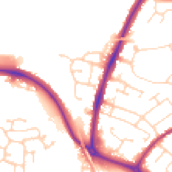
Daytime· 07:00 – 23:00
51.6dB

Night-time· 23:00 – 07:00
42.8dB