11 Corunna Drive, Colchester, CO2 9HF
About 11 Corunna Drive
11 Corunna Drive is a four-bedroom mid-terrace house in Colchester (CO2 9HF). It has a recorded floor area of 89 m² (around 958 sq ft), construction records dating it to 2007 onwards and council tax band E. The latest certificate (June 2018) shows a C (score 76), near the top of the C band. The recommended improvements would push it to B (score 88).
Across 2008–2018, sale prices on this property compounded at 2.6% per year. Today's modelled estimate of £369,000 is 25.5% above the 2018 sale price. On a £-per-square-foot basis, the last sale (£307/sq ft) was about 41.1% above the typical sold price in the postcode. On the market in February 2018 and unlisted since — roughly 8 years.
What this property has
Inside
- Bedrooms4
- EnsuiteYes
Outside
- GarageYes
Everything you need to know about 11 Corunna Drive
The true value, the hidden risks and the full sale history, in one report.
Pick your report · every report is £14.99
One time fee only - money back guarantee

The data behind every report


Energy performance
EPC Rating
Get a survey for this property
Level 2 HomeBuyer Report
We've checked 10 risk factors against the available data for this property and believe a Level 2 HomeBuyer Report could be a suitable option for you.
From £595 · Includes VAT
Planning history
11 Corunna Drive has no planning applications on record.
But the area is active
1 notable application nearby — larger schemes and conversions that could reshape the street. The report maps them all.
Sales history & valuation
11 Corunna Drive valuation sits well clear of the typical sold price in this postcode.
£369,000
Modelled from EPC, postcode comparables and a sale-price growth of 2.6% per year over 10 years.
£294,000
Growth on file: 2.6% per year over 10 years.
Sales timeline
28 February 2018Most recent
£294,000
+27.9%over 9 years26 June 2008
£229,950
Median price across the last 5 sales in CO2 9HF: £285,000 (2022–2020).
Nearby sales in CO2 9HF
Versus other Corunna Drive homes
Price per m² for 11 Corunna Drive runs comfortably ahead of the street norm.
Price per m²
£3,303
Street avg £2,546
Floor Area
89 m²
Street avg 97 m²
Habitable Rooms
5 rooms
Street avg 5 rooms
CO₂ Emissions
2.3 t/year
Street avg 2.5 t/year
Everything you need to know about 11 Corunna Drive
The true value, the hidden risks and the full sale history, in one report.
Pick your report · every report is £14.99
One time fee only - money back guarantee
The data behind every report
Similar properties nearby
The neighbourhood at a glance
Reported crime in the wider district is trending notably upward year-on-year.
Crime
5/mo
Rising year-on-year across the wider district.
Nearest stop
0.1 km
Lordswood Road — bus stop.
Closest school
0.4 km
Montgomery Primary School, Colchester. 26 schools nearby.
Go deeper on the local area
A Local Area report breaks down crime, transport links, schools and air quality in depth.
Road noise across the postcode
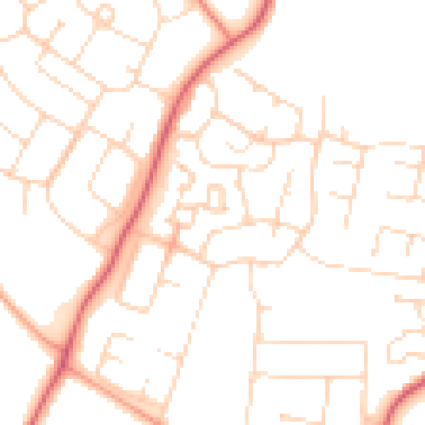
Daytime· 07:00 – 23:00
49.5dB

Night-time· 23:00 – 07:00
38.9dB