1 Caesar Court, Roman Circus Walk, Colchester, CO2 7NG
About 1 Caesar Court
1 Caesar Court is a two-bedroom detached house in Colchester (CO2 7NG). It has a recorded floor area of 70 m² (around 753 sq ft), construction records dating it to 2012 onwards and council tax band B. At 70 m² this is the 2nd smallest of 8 units on EPC record in the building, where floor areas span 69–72 m². The building's EPC ratings span C to B, with this unit at the bottom. The latest certificate (November 2023) shows a C (score 80), near the top of the C band. Earlier certificates rated it B (November 2013); the latest reading is one band lower. Between certificates, window efficiency dropped from Very Good to Good.
It changed hands recently, sold October 2025 for £195,000. It lags the bulk of the postcode on energy efficiency (less efficient than 71% of similar EPCs). Across 2013–2025, sale prices on this property compounded at 3% per year. On a £-per-square-foot basis, the last sale (£259/sq ft) was about 38.8% above the typical sold price in the postcode.
What this property has
Inside
- Bedrooms2
- Bathrooms2
- EnsuiteYes
Outside
- Communal gardenYes
- ParkingAllocated
Building
- Heating systemGas
Everything you need to know about 1 Caesar Court
The true value, the hidden risks and the full sale history, in one report.
Pick your report · every report is £14.99
One time fee only - money back guarantee

The data behind every report


Energy performance
1 Caesar Court's carbon output is low for the local stock.
EPC Rating
Get a survey for this property
Level 2 HomeBuyer Report
We've checked 10 risk factors against the available data for this property and believe a Level 2 HomeBuyer Report could be a suitable option for you.
From £495 · Includes VAT
Planning history
1 Caesar Court has no planning applications on record.
But the area is active
4 notable applications nearby — larger schemes and conversions that could reshape the street. The report maps them all.
Sales history & valuation
1 Caesar Court valuation sits well clear of the typical sold price in this postcode.
£199,000
Modelled from EPC, postcode comparables and a sale-price growth of 3.0% per year over 12 years.
£195,000
Growth on file: 3.0% per year over 12 years.
Sales timeline
29 October 2025Most recent
£195,000
+41.3%over 11 years20 December 2013
£137,995
Median price across the last 5 sales in CO2 7NG: £191,000 (2025–2014).
Nearby sales in CO2 7NG
2 Caesar Court, Roman Circus Walk, Colchester, CO2 7NG
Sold May 2025
£202,0003 Caesar Court, Roman Circus Walk, Colchester, CO2 7NG
Sold Jan 2021
£197,5004 Caesar Court, Roman Circus Walk, Colchester, CO2 7NG
Sold Apr 2014
£149,0007 Caesar Court, Roman Circus Walk, Colchester, CO2 7NG
Sold Dec 2013
£139,9955 Caesar Court, Roman Circus Walk, Colchester, CO2 7NG
Sold Dec 2013
£139,995
Versus other Roman Circus Walk homes
1 Caesar Court is notably below the street on years held.
Price per m²
£2,786
Street avg £2,243
Floor Area
70 m²
Street avg 70 m²
Habitable Rooms
3 rooms
Street avg 3 rooms
CO₂ Emissions
1.5 t/year
Street avg 1.2 t/year
Everything you need to know about 1 Caesar Court
The true value, the hidden risks and the full sale history, in one report.
Pick your report · every report is £14.99
One time fee only - money back guarantee
The data behind every report
Similar properties nearby
1 Captain Gardens
CO2 7FX
1 Amies Court, Grimston Road
CO2 7RN
1 Bradman Court, Circular Road East
CO2 7GB
1 Battalion Walk
CO2 7GS
1 Abbey Court, Meyrick Crescent
CO2 7QP
1 Brookside Close
CO2 7LZ
1 Barside Terrace, Layer Road
CO2 7HX
1 Bourne Court, Mersea Road
CO2 7RJ
The neighbourhood at a glance
Rail-style transport is unusually close for this postcode.
Crime
5/mo
Rising year-on-year across the wider district.
Nearest stop
0.2 km
Police Station — bus stop.
Closest school
0.4 km
St John's Green Primary School. 33 schools nearby.
Go deeper on the local area
A Local Area report breaks down crime, transport links, schools and air quality in depth.
Road noise across the postcode
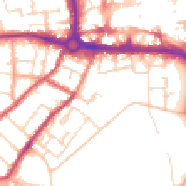
Daytime· 07:00 – 23:00
52.1dB

Night-time· 23:00 – 07:00
42.5dB