22 Malting Green Road, Layer De La Haye, Colchester, CO2 0JH
About 22 Malting Green Road
22 Malting Green Road is a five-bedroom property in Layer-De-La-Haye, Colchester, Colchester (CO2 0JH). It has council tax band F.
Held since April 2005 — that's 21 years off the open market, well above the local norm. Across 2003–2005, sale prices on this property compounded at 8.7% per year. 5 bedrooms is on the larger side for this postcode, where 4 is the typical count.
What this property has
Inside
- Bedrooms5
Everything you need to know about 22 Malting Green Road
The true value, the hidden risks and the full sale history, in one report.
Pick your report · every report is £14.99
One time fee only - money back guarantee

The data behind every report


Energy performance
No EPC on record
This property doesn't have an Energy Performance Certificate yet. An EPC is required to sell or let — and unlocks our automated valuation.
Get a survey for this property
Level 2 HomeBuyer Report
We've checked 10 risk factors against the available data for this property and believe a Level 2 HomeBuyer Report could be a suitable option for you.
Planning history
22 Malting Green Road has no planning applications on record.
But the area is active
1 notable application nearby — larger schemes and conversions that could reshape the street. The report maps them all.
Sales history & valuation
£499,950
Growth on file: 8.7% per year over 2 years.
Sales timeline
14 April 2005Most recent
£499,950
+19.0%over 2 years14 March 2003
£420,000
Median price across the last 5 sales in CO2 0JH: £640,000 (2025–2016).
Nearby sales in CO2 0JH
32 Malting Green Road, Layer De La Haye, Colchester, CO2 0JH
Sold Mar 2025
£635,00026 Malting Green Road, Layer De La Haye, Colchester, CO2 0JH
Sold Dec 2022
£870,00027 Malting Green Road, Layer De La Haye, Colchester, CO2 0JH
Sold Oct 2020
£252,00020 Malting Green Road, Layer De La Haye, Colchester, CO2 0JH
Sold Jul 2019
£690,00010 Malting Green Road, Layer De La Haye, Colchester, CO2 0JH
Sold Aug 2011
£280,000
Everything you need to know about 22 Malting Green Road
The true value, the hidden risks and the full sale history, in one report.
Pick your report · every report is £14.99
One time fee only - money back guarantee
The data behind every report
Similar properties nearby
1 Birch Road, Layer De La Haye
CO2 0EL
1 Eldred Cottages, Olivers Lane
CO2 0HJ
1 Hillfield Cottages, Layer Breton
CO2 0PS
1 Greate House Farm Road, Layer De La Haye
CO2 0LP
1 Chancery Grove, Mersea Road, Blackheath
CO2 0BQ
1 Ash Grove
CO2 0AH
1 Chestnut Avenue
CO2 0AL
1 Blenheim Drive
CO2 0AR
The neighbourhood at a glance
Reported crime in the wider district is trending notably upward year-on-year.
Crime
5/mo
Rising year-on-year across the wider district.
Nearest stop
0.1 km
Old Forge Road — bus stop.
Closest school
0.1 km
Layer-de-la-Haye Church of England Voluntary Controlled Primary School. 4 schools nearby.
Go deeper on the local area
A Local Area report breaks down crime, transport links, schools and air quality in depth.
Road noise across the postcode
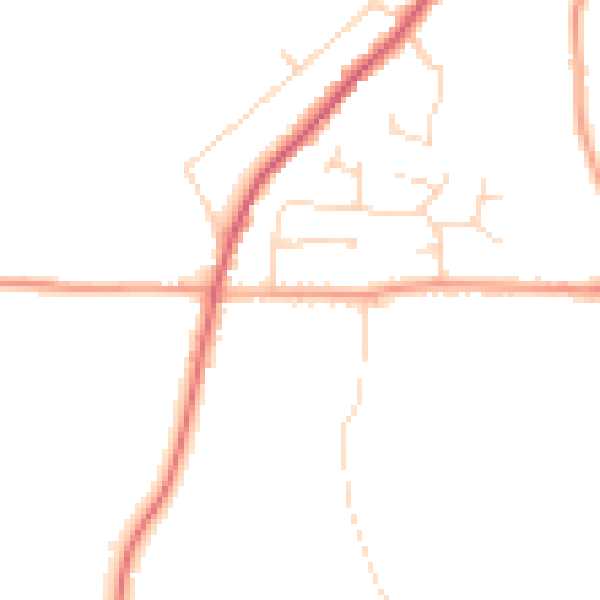
Daytime· 07:00 – 23:00
45.3dB

Night-time· 23:00 – 07:00
37.5dB