8 Mallard Close, Layer De La Haye, Colchester, CO2 0JB
About 8 Mallard Close
8 Mallard Close is a four-bedroom detached house in Layer-De-La-Haye, Colchester, Colchester (CO2 0JB). It has a recorded floor area of 103 m² (around 1109 sq ft), construction records dating it to 1976-1982 and council tax band D. The latest certificate (April 2014) shows a C (score 70). The recommended improvements would push it to B (score 89). Main heating runs on oil. The latest certificate is from April 2014, so improvements made since then won't be reflected.
Last sold in April 2017, so it's been off the market for around 9 years. Across the public record there are 5 sales, relatively high churn for a single property. Across 1995–2017, sale prices on this property compounded at 7.2% per year. Today's modelled estimate of £435,000 is 19.2% above the 2017 sale price.
What this property has
Inside
- Bedrooms4
- Dining roomYes
- Utility roomYes
- CloakroomYes
Outside
- GarageDouble
Everything you need to know about 8 Mallard Close
The true value, the hidden risks and the full sale history, in one report.
Pick your report · every report is £14.99
One time fee only - money back guarantee

The data behind every report


Energy performance
8 Mallard Close's EPC is over a decade old — improvements since won't be reflected.
EPC Expired
This certificate is over 10 years old and is no longer valid.Expired 01 Apr 2024
EPC Rating
Get a survey for this property
Level 3 Building Survey
Because the property has no mains gas supply, we believe a Level 3 building survey should be considered.
From £1,020 · Includes VAT
Planning history
8 Mallard Close has no planning applications on record.
But the area is active
1 notable application nearby — larger schemes and conversions that could reshape the street. The report maps them all.
Sales history & valuation
8 Mallard Close has more than quadrupled in price since its earliest registered sale in 1995.
£435,000
Modelled from EPC, postcode comparables and a sale-price growth of 7.2% per year over 22 years.
£365,000
Growth on file: 7.2% per year over 22 years.
Sales timeline
20 April 2017Most recent
£365,000
+60.1%over 13 years7 April 2004
£228,000
+53.5%over 2 years29 May 2001
£148,500
+12.5%over 1 year2 December 1999
£132,000
+61.0%over 4 years14 September 1995
£82,000
Median price across the last 3 sales in CO2 0JB: £289,995 (2015–1999).
Versus other Mallard Close homes
8 Mallard Close outperforms the street on epc rating by a wide margin.
EPC Rating
70 (C)
Street avg 61 (D)
Floor Area
103 m²
Street avg 111 m²
CO₂ Emissions
4.2 t/year
Street avg 5.0 t/year
Habitable Rooms
6 rooms
Street avg 5 rooms
Everything you need to know about 8 Mallard Close
The true value, the hidden risks and the full sale history, in one report.
Pick your report · every report is £14.99
One time fee only - money back guarantee
The data behind every report
Similar properties nearby
1 Greate House Farm Road, Layer De La Haye
CO2 0LP
1 Hillfield Cottages, Layer Breton
CO2 0PS
1 Eldred Cottages, Olivers Lane
CO2 0HJ
1 Birch Road, Layer De La Haye
CO2 0EL
1 Ash Grove
CO2 0AH
1 Chestnut Avenue
CO2 0AL
1 Chancery Grove, Mersea Road, Blackheath
CO2 0BQ
1 Blenheim Drive
CO2 0AR
The neighbourhood at a glance
Reported crime in the wider district is trending notably upward year-on-year.
Crime
5/mo
Rising year-on-year across the wider district.
Nearest stop
0.2 km
Hawfinch Road — bus stop.
Closest school
0.5 km
Layer-de-la-Haye Church of England Voluntary Controlled Primary School. 4 schools nearby.
Go deeper on the local area
A Local Area report breaks down crime, transport links, schools and air quality in depth.
Road noise across the postcode
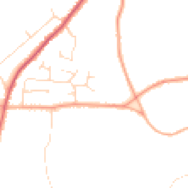
Daytime· 07:00 – 23:00
45.1dB

Night-time· 23:00 – 07:00
37.3dB