Davlyn, The Heath, Layer De La Haye, Colchester, CO2 0EE
About Davlyn
Davlyn is a detached house in Layer-De-La-Haye, Colchester, Colchester (CO2 0EE). It has a recorded floor area of 65 m² (around 700 sq ft), construction records dating it to 1950-1966 and council tax band D. The latest certificate (May 2024) shows a C (score 71). When first surveyed in January 2024 the rating was F, the property has climbed 3 bands since. Between certificates, hot-water efficiency went from Very Poor to Poor and main heating went from Very Poor to Good. The recommended improvements would lift it to A (score 114), a 2-band jump. Main heating runs on electricity.
Everything you need to know about Davlyn
The true value, the hidden risks and the full sale history, in one report.
Pick your report · every report is £14.99
One time fee only - money back guarantee

The data behind every report


Energy performance
Recommended upgrades on file would lift this property by multiple EPC bands.
EPC Rating
Property Improvements
Changes detected from historical EPC data
Heat pump installed, significantly improving energy efficiency
Heating controls upgraded for better temperature management
Hot water system upgraded
Get a survey for this property
Level 3 Building Survey
Because the property has no mains gas supply, we believe a Level 3 building survey should be considered.
From £955 · Includes VAT
Planning history
Davlyn has no planning applications on record.
But the area is active
1 notable application nearby — larger schemes and conversions that could reshape the street. The report maps them all.
Sales history & valuation
Davlyn has no Land Registry sales on file, suggesting it has stayed in the same hands since registration began.
£367,000
Modelled from EPC, postcode comparables.
No sales recorded with HM Land Registry
That can mean the property has never traded since the registry began publishing in 1995, was a new build that hasn't been registered yet, or is held in the same hands long-term.
Median price across the last 5 sales in CO2 0EE: £340,000 (2009–2001).
Nearby sales in CO2 0EE
1 Heath Cottages, The Heath, Layer De La Haye, Colchester, CO2 0EE
Sold Jul 2009
£132,000Heathwood Cottage, The Heath, Layer De La Haye, Colchester, CO2 0EE
Sold Dec 2008
£460,000Rushbrooke, The Heath, Layer De La Haye, Colchester, CO2 0EE
Sold Jul 2007
£340,000Southview, The Heath, Layer De La Haye, Colchester, CO2 0EE
Sold May 2007
£415,000
Everything you need to know about Davlyn
The true value, the hidden risks and the full sale history, in one report.
Pick your report · every report is £14.99
One time fee only - money back guarantee
The data behind every report
Similar properties nearby
1 Hetherington Close
CO2 0AN
1 Blenheim Drive
CO2 0AR
1 Heath Farm Cottages, Orpens Hill, Birch
CO2 0LY
1 Church Cottages, School Hill, Birch
CO2 0LZ
1 Chestnut Avenue
CO2 0AL
1 Creffield Cottages, Birch Street, Birch
CO2 0NL
1 Ash Grove
CO2 0AH
1 Greate House Farm Road, Layer De La Haye
CO2 0LP
The neighbourhood at a glance
Reported crime in the wider district is trending notably upward year-on-year.
Crime
5/mo
Rising year-on-year across the wider district.
Nearest stop
0.2 km
Les Bois — bus stop.
Closest school
0.6 km
Layer-de-la-Haye Church of England Voluntary Controlled Primary School. 8 schools nearby.
Go deeper on the local area
A Local Area report breaks down crime, transport links, schools and air quality in depth.
Road noise across the postcode
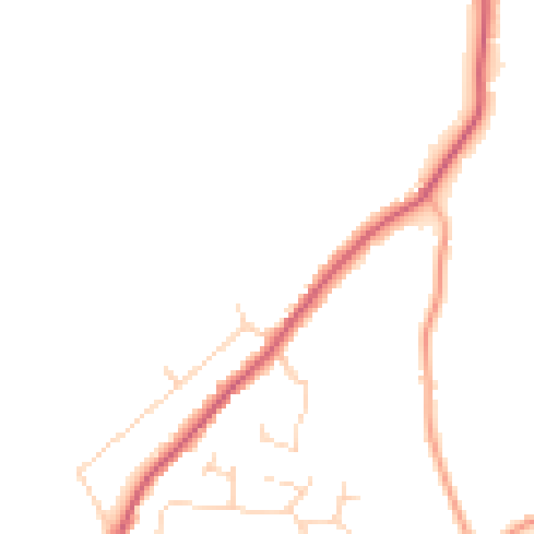
Daytime· 07:00 – 23:00
44.4dB

Night-time· 23:00 – 07:00
37.6dB