5 Blenheim Drive, Colchester, CO2 0AR
About 5 Blenheim Drive
5 Blenheim Drive is a semi-detached house in Colchester (CO2 0AR). It has a recorded floor area of 116 m² (around 1249 sq ft), construction records dating it to 1967-1975 and council tax band C. The latest certificate (September 2013) shows an F (score 35), near the bottom of the EPC scale. The recommended improvements would lift it to B (score 83), a 4-band jump. The latest certificate is from September 2013, so improvements made since then won't be reflected.
Untraded for 28 years, with the last transfer in September 1998. Only one transfer is on record with HM Land Registry, suggesting it has stayed in the same hands for a long time. At 116 m² the property is well over the postcode median (58 m² across 9 EPCs), placing it in the larger end of the local stock. On energy efficiency it sits in the bottom 10% of properties in this postcode — significant headroom for improvement. Today's modelled estimate of £291,000 sits 377% above the 1998 sale of £61,000. On a £-per-square-foot basis, the last sale (£49/sq ft) was about 80.8% below the postcode norm.
Everything you need to know about 5 Blenheim Drive
The true value, the hidden risks and the full sale history, in one report.
Pick your report · every report is £14.99
One time fee only - money back guarantee

The data behind every report


Energy performance
5 Blenheim Drive sits at the bottom of the postcode for energy efficiency — meaningful headroom to improve.
EPC Expired
This certificate is over 10 years old and is no longer valid.Expired 01 Sept 2023
EPC Rating
Get a survey for this property
Level 2 HomeBuyer Report
We've checked 10 risk factors against the available data for this property and believe a Level 2 HomeBuyer Report could be a suitable option for you.
From £545 · Includes VAT
Planning history
5 Blenheim Drive has no planning applications on record.
But the area is active
1 notable application nearby — larger schemes and conversions that could reshape the street. The report maps them all.
Sales history & valuation
5 Blenheim Drive's modelled value sits at over four times its earliest registered sale price (1998).
£291,000
Modelled from EPC, postcode comparables.
£61,000
Recorded with HM Land Registry.
Sales timeline
21 September 1998Most recent
£61,000
Median price across the last 5 sales in CO2 0AR: £175,000 (2024–2020).
Nearby sales in CO2 0AR
Blenheim, Flat 1, Blenheim Drive, Colchester, CO2 0AR
Sold Aug 2024
£175,0006 Blenheim Drive, Colchester, CO2 0AR
Sold Dec 2023
£400,000Blenheim, Flat 4, Blenheim Drive, Colchester, CO2 0AR
Sold Nov 2023
£138,0004 Blenheim Drive, Colchester, CO2 0AR
Sold Dec 2021
£360,0001 Blenheim Drive, Colchester, CO2 0AR
Sold Aug 2004
£195,000
Versus other Blenheim Drive homes
5 Blenheim Drive is notably below the street on price per m².
Price per m²
£526
Street avg £4,262
Floor Area
116 m²
Street avg 115 m²
Habitable Rooms
4 rooms
Street avg 5 rooms
CO₂ Emissions
8.9 t/year
Street avg 5.1 t/year
Everything you need to know about 5 Blenheim Drive
The true value, the hidden risks and the full sale history, in one report.
Pick your report · every report is £14.99
One time fee only - money back guarantee
The data behind every report
Similar properties nearby
1 Blackheath
CO2 0AE
1 Garrod Court, Holt Drive
CO2 0BL
1 Finchingfield Way
CO2 0AY
1 Claire Cottages, Hardys Green, Birch
CO2 0NT
1 Felstead Close
CO2 0BA
1 Heath Cottages, The Heath, Layer De La Haye
CO2 0EE
1 Hall Bungalows, Colchester Road, Layer Breton
CO2 0PU
1 Green Acres Road, Layer De La Haye
CO2 0JP
The neighbourhood at a glance
Reported crime in the wider district is trending notably upward year-on-year.
Crime
5/mo
Rising year-on-year across the wider district.
Nearest stop
0.1 km
Gosfield Rd — bus stop.
Closest school
0.3 km
Cherry Tree Academy. 14 schools nearby.
Go deeper on the local area
A Local Area report breaks down crime, transport links, schools and air quality in depth.
Road noise across the postcode
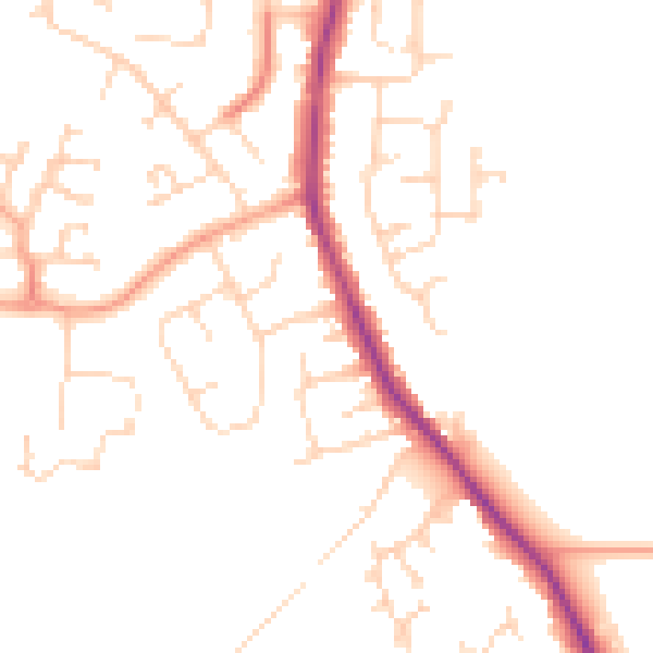
Daytime· 07:00 – 23:00
47.8dB

Night-time· 23:00 – 07:00
39.1dB