6 Ash Grove, Colchester, CO2 0AH
About 6 Ash Grove
6 Ash Grove is a three-bedroom semi-detached house in Colchester (CO2 0AH). It has a recorded floor area of 97 m² (around 1044 sq ft), construction records dating it to 1950-1966 and council tax band C. The latest certificate (January 2016) shows a D (score 65), on the cusp of jumping into the C band. The recommended improvements would push it to C (score 80). The latest certificate is from January 2016, so improvements made since then won't be reflected.
It changed hands recently, sold October 2025 for £325,000. Across 2016–2025, sale prices on this property compounded at 3.1% per year. On a £-per-square-foot basis, the last sale (£311/sq ft) was about 34.1% above the typical sold price in the postcode.
What this property has
Inside
- Bedrooms3
- Bathrooms1
Everything you need to know about 6 Ash Grove
The true value, the hidden risks and the full sale history, in one report.
Pick your report · every report is £14.99
One time fee only - money back guarantee

The data behind every report


Energy performance
EPC Expired
This certificate is over 10 years old and is no longer valid.Expired 28 Jan 2026
EPC Rating
Get a survey for this property
Level 2 HomeBuyer Report
We've checked 10 risk factors against the available data for this property and believe a Level 2 HomeBuyer Report could be a suitable option for you.
From £595 · Includes VAT
Planning history
6 Ash Grove has no planning applications on record.
But the area is active
1 notable application nearby — larger schemes and conversions that could reshape the street. The report maps them all.
Sales history & valuation
6 Ash Grove valuation sits well clear of the typical sold price in this postcode.
£338,000
Modelled from EPC, postcode comparables and a sale-price growth of 3.1% per year over 9 years.
£325,000
Growth on file: 3.1% per year over 9 years.
Sales timeline
9 October 2025Most recent
£325,000
+33.2%over 9 years24 May 2016
£244,000
Median price across the last 5 sales in CO2 0AH: £300,000 (2025–2023).
Versus other Ash Grove homes
Years Held for 6 Ash Grove lags the street by a wide margin.
Price per m²
£3,351
Street avg £2,896
Floor Area
97 m²
Street avg 93 m²
Habitable Rooms
5 rooms
Street avg 5 rooms
CO₂ Emissions
4.0 t/year
Street avg 4.3 t/year
Everything you need to know about 6 Ash Grove
The true value, the hidden risks and the full sale history, in one report.
Pick your report · every report is £14.99
One time fee only - money back guarantee
The data behind every report
Similar properties nearby
1 Blenheim Drive
CO2 0AR
1 Felstead Close
CO2 0BA
1 Chestnut Avenue
CO2 0AL
1 Garrod Court, Holt Drive
CO2 0BL
1 Finchingfield Way
CO2 0AY
1 Ash Grove
CO2 0AH
1 Chancery Grove, Mersea Road, Blackheath
CO2 0BQ
1 Blackheath
CO2 0AE
The neighbourhood at a glance
Reported crime in the wider district is trending notably upward year-on-year.
Crime
5/mo
Rising year-on-year across the wider district.
Nearest stop
0.2 km
The Cherry Tree — bus stop.
Closest school
0.2 km
Cherry Tree Academy. 14 schools nearby.
Go deeper on the local area
A Local Area report breaks down crime, transport links, schools and air quality in depth.
Road noise across the postcode
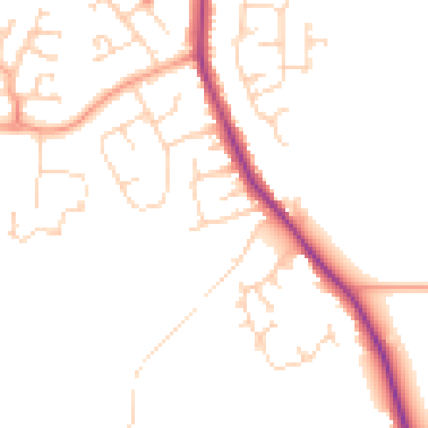
Daytime· 07:00 – 23:00
47.3dB

Night-time· 23:00 – 07:00
39.0dB