20 Cestrian Drive, Wirral, CH61 9PL
About 20 Cestrian Drive
20 Cestrian Drive is a four-bedroom semi-detached house in Wirral (CH61 9PL). It has a recorded floor area of 84 m² (around 904 sq ft), construction records dating it to 1967-1975 and council tax band C. The latest certificate (April 2016) shows a D (score 56), a step below the typical UK home. The recommended improvements would push it to C (score 79). The latest certificate is from April 2016, so improvements made since then won't be reflected. Period features are noted in the property record.
Across 1998–2018, sale prices on this property compounded at 5.6% per year. Today's modelled estimate of £279,000 sits 57.6% above the 2018 sale of £177,000. On a £-per-square-foot basis, the last sale (£196/sq ft) was about 16.7% above the typical sold price in the postcode. At 84 m² it's 22.9% smaller than the typical home in the postcode (109 m² median across 7 EPCs). Most recent transfer: November 2018 at £177,000.
What this property has
Inside
- Bedrooms4
- Bathrooms1
- Open-plan layoutYes
- Dining roomYes
- EnsuiteYes
Outside
- Private gardenYes
- ParkingOff road
Building
- Period featuresYes
- RefurbishedYes
Everything you need to know about 20 Cestrian Drive
The true value, the hidden risks and the full sale history, in one report.
30-day money-back guarantee

The data behind every report


Energy performance
EPC Expired
This certificate is over 10 years old and is no longer valid.Expired 10 Apr 2026
EPC Rating
Planning history
20 Cestrian Drive has no planning applications on record.
The full report still covers planning activity across the surrounding area.
Sales history & valuation
20 Cestrian Drive has more than tripled in price since its earliest registered sale in 1998.
£279,000
Modelled from EPC, postcode comparables and a sale-price growth of 5.6% per year over 21 years.
£177,000
Growth on file: 5.6% per year over 21 years.
Sales timeline
9 November 2018Most recent
£177,000
+205.2%over 20 years7 May 1998
£58,000
26 April 1998
£58,000
Median price across the last 5 sales in CH61 9PL: £190,000 (2021–2012).
Nearby sales in CH61 9PL
Versus other Cestrian Drive homes
On floor area, 20 Cestrian Drive runs well behind the street norm.
Price per m²
£2,107
Street avg £2,068
Floor Area
84 m²
Street avg 116 m²
Habitable Rooms
5 rooms
Street avg 6 rooms
CO₂ Emissions
4.9 t/year
Street avg 6.2 t/year
Everything you need to know about 20 Cestrian Drive
The true value, the hidden risks and the full sale history, in one report.
30-day money-back guarantee
The data behind every report
Similar properties nearby
1 Kings Drive, Thingwall
CH61 9PX
1 Belmont Drive
CH61 9NA
10 Bentley Road
CH61 9QB
1 Fender Way
CH61 9NP
1 Beech Avenue, Pensby
CH61 9NU
1 Cestrian Drive
CH61 9PL
10 Beech Avenue, Pensby
CH61 9NU
1 Laurelhurst Avenue
CH61 9NY
The neighbourhood at a glance
Daytime road noise here sits well below conversation level — a quiet pocket of the postcode.
Crime
2/mo
Steady year-on-year across the wider district.
Nearest stop
0.2 km
Wimbourne Avenue — bus stop.
Closest school
0.6 km
Thingwall Primary School. 14 schools nearby.
Go deeper on the local area
The full report breaks down crime, transport links, schools and air quality in depth.
Road noise across the postcode
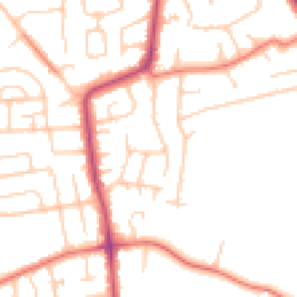
Daytime· 07:00 – 23:00
49.7dB

Night-time· 23:00 – 07:00
39.5dB