9 Fishers Lane, Wirral, CH61 9NT
About 9 Fishers Lane
9 Fishers Lane is a three-bedroom semi-detached house in Wirral (CH61 9NT). It has a recorded floor area of 111 m² (around 1193 sq ft), construction records dating it to 1930-1949 and council tax band B. The latest certificate (February 2011) shows a D (score 67), on the cusp of jumping into the C band. The recommended improvements would push it to C (score 71). The latest certificate is from February 2011, so improvements made since then won't be reflected.
At 111 m² the property is well over the postcode median (82 m² across 12 EPCs), placing it in the larger end of the local stock. Across 2004–2011, sale prices on this property compounded at 5.9% per year. Today's modelled estimate of £260,000 sits 51.2% above the 2011 sale of £172,000. On a £-per-square-foot basis, the last sale (£144/sq ft) was about 27.2% below the postcode norm. 2 planning records sit against the property, 2 approved, 0 refused. Past consents include an extension, meaningful when judging how the property has evolved. On the market in July 2011 and unlisted since — roughly 15 years.
What this property has
Inside
- Bedrooms3
Everything you need to know about 9 Fishers Lane
The true value, the hidden risks and the full sale history, in one report.
30-day money-back guarantee

The data behind every report


Energy performance
9 Fishers Lane's EPC is over a decade old — improvements since won't be reflected.
EPC Expired
This certificate is over 10 years old and is no longer valid.Expired 13 Feb 2021
EPC Rating
Planning history
9 Fishers Lane has an approved single-storey side extension on the planning record.
- Sept 2014ExtensionFullIn report
Extension: Single storey · Side of property
Erection of a single storey side extension
- Documents
- 4 docs on file
- Reference
- APP/14/00920
- Dec 2008ExtensionFullIn report
Extension: Single storey · Side and rear of property
Erection of single storey side and rear extension and garage
- Documents
- 12 docs on file
- Reference
- APP/08/06730
What's in 9 Fishers Lane, Wirral, CH61 9NT's planning history?
Refusals, disputes and full decisions on this property and nearby, in the report.
Sales history & valuation
9 Fishers Lane saw 3 transfers in just over a decade — high turnover for the postcode.
£260,000
Modelled from EPC, postcode comparables and a sale-price growth of 5.9% per year over 7 years.
£172,000
Growth on file: 5.9% per year over 7 years.
Sales timeline
21 July 2011Most recent
£172,000
+25.1%over 2 years18 September 2008
£137,500
+20.6%over 4 years27 May 2004
£114,000
Median price across the last 5 sales in CH61 9NT: £242,000 (2025–2021).
Versus other Fishers Lane homes
9 Fishers Lane outperforms the street on years held by a wide margin.
Price per m²
£1,552
Street avg £2,271
Floor Area
111 m²
Street avg 93 m²
Habitable Rooms
5 rooms
Street avg 4 rooms
CO₂ Emissions
4.4 t/year
Street avg 4.3 t/year
Everything you need to know about 9 Fishers Lane
The true value, the hidden risks and the full sale history, in one report.
30-day money-back guarantee
The data behind every report
Similar properties nearby
1 Belmont Drive
CH61 9NA
1 Kings Drive, Thingwall
CH61 9PX
10 Bentley Road
CH61 9QB
1 Fender Way
CH61 9NP
1 Beech Avenue, Pensby
CH61 9NU
1 Cestrian Drive
CH61 9PL
1 Shearman Close
CH61 9PA
1 Ryland Park
CH61 9QJ
The neighbourhood at a glance
Daytime road noise here sits well below conversation level — a quiet pocket of the postcode.
Crime
2/mo
Steady year-on-year across the wider district.
Nearest stop
0.1 km
Beech Avenue — bus stop.
Closest school
0.6 km
Pensby Primary School. 10 schools nearby.
Go deeper on the local area
The full report breaks down crime, transport links, schools and air quality in depth.
Road noise across the postcode
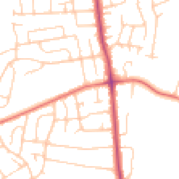
Daytime· 07:00 – 23:00
49.1dB

Night-time· 23:00 – 07:00
38.8dB