21 Fishers Lane, Wirral, CH61 9NT
About 21 Fishers Lane
21 Fishers Lane is a semi-detached house in Wirral (CH61 9NT). It has a recorded floor area of 59 m² (around 635 sq ft), construction records dating it to 1950-1966 and council tax band B. The latest certificate (May 2023) shows a D (score 64), on the cusp of jumping into the C band. The rating has held steady at D across 3 certificates since March 2014. Between certificates, window efficiency went from Average to Good and lighting went from Good to Very Good. The recommended improvements would lift it to B (score 85), a 2-band jump.
At 59 m² it sits well below the postcode median (94 m² across 12 EPCs), making it one of the more compact homes locally. Across 2014–2024, sale prices on this property compounded at 4.5% per year. On a £-per-square-foot basis, the last sale (£331/sq ft) was about 84.2% above the typical sold price in the postcode. Sold February 2024 for £210,000.
Everything you need to know about 21 Fishers Lane
The true value, the hidden risks and the full sale history, in one report.
30-day money-back guarantee

The data behind every report


Energy performance
Recommended upgrades on file would lift this property by multiple EPC bands.
EPC Rating
Property Improvements
Changes detected from historical EPC data
Windows upgraded, improving insulation
Window efficiency improved
More low energy lighting installed
Planning history
21 Fishers Lane has no planning applications on record.
The full report still covers planning activity across the surrounding area.
Sales history & valuation
21 Fishers Lane valuation sits well clear of the typical sold price in this postcode.
£230,000
Modelled from EPC, postcode comparables and a sale-price growth of 4.5% per year over 10 years.
£210,000
Growth on file: 4.5% per year over 10 years.
Sales timeline
1 February 2024Most recent
£210,000
+54.4%over 9 years31 March 2014
£136,000
Median price across the last 5 sales in CH61 9NT: £242,000 (2025–2019).
Versus other Fishers Lane homes
On price per m², 21 Fishers Lane stands well clear of the street.
Price per m²
£3,559
Street avg £2,088
Floor Area
59 m²
Street avg 97 m²
Habitable Rooms
4 rooms
Street avg 4 rooms
CO₂ Emissions
2.7 t/year
Street avg 4.4 t/year
Everything you need to know about 21 Fishers Lane
The true value, the hidden risks and the full sale history, in one report.
30-day money-back guarantee
The data behind every report
Similar properties nearby
10 Bentley Road
CH61 9QB
1 Fishers Lane
CH61 9NT
1 Belmont Drive
CH61 9NA
1 Shearman Close
CH61 9PA
1 Kings Drive, Thingwall
CH61 9PX
1 Ryland Park
CH61 9QJ
10 Beech Avenue, Pensby
CH61 9NU
1 Bentley Road
CH61 9QB
The neighbourhood at a glance
Daytime road noise here sits well below conversation level — a quiet pocket of the postcode.
Crime
2/mo
Steady year-on-year across the wider district.
Nearest stop
0.1 km
Beech Avenue — bus stop.
Closest school
0.6 km
Pensby Primary School. 10 schools nearby.
Go deeper on the local area
The full report breaks down crime, transport links, schools and air quality in depth.
Road noise across the postcode
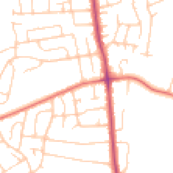
Daytime· 07:00 – 23:00
49.1dB

Night-time· 23:00 – 07:00
38.8dB