29 Fishers Lane, Wirral, CH61 9NT
About 29 Fishers Lane
29 Fishers Lane is a three-bedroom semi-detached house in Wirral (CH61 9NT). It has a recorded floor area of 142 m² (around 1528 sq ft), construction records dating it to 1900-1929 and council tax band C. The latest certificate (February 2015) shows a D (score 62), on the cusp of jumping into the C band. When first surveyed in February 2011 the rating was E, the property has climbed 1 band since. Between certificates, window efficiency went from Average to Good and lighting went from Poor to Very Good; while roof efficiency dropped from Good to Very Poor. The recommended improvements would push it to C (score 77). The latest certificate is from February 2015, so improvements made since then won't be reflected.
At 142 m² the property is well over the postcode median (82 m² across 12 EPCs), placing it in the larger end of the local stock. Today's modelled estimate of £307,000 sits 61.6% above the 2011 sale of £190,000. On a £-per-square-foot basis, the last sale (£124/sq ft) was about 32.9% below the postcode norm. Last sold in November 2011, so it's been off the market for around 15 years.
What this property has
Inside
- Bedrooms3
Everything you need to know about 29 Fishers Lane
The true value, the hidden risks and the full sale history, in one report.
30-day money-back guarantee

The data behind every report


Energy performance
29 Fishers Lane's carbon output runs well above what efficient homes in the postcode produce.
EPC Expired
This certificate is over 10 years old and is no longer valid.Expired 03 Feb 2025
EPC Rating
Property Improvements
Changes detected from historical EPC data
Window efficiency improved
More low energy lighting installed
Planning history
29 Fishers Lane has no planning applications on record.
The full report still covers planning activity across the surrounding area.
Sales history & valuation
29 Fishers Lane valuation sits well clear of the typical sold price in this postcode.
£307,000
Modelled from EPC, postcode comparables.
£190,000
Recorded with HM Land Registry.
Sales timeline
25 November 2011Most recent
£190,000
Median price across the last 5 sales in CH61 9NT: £242,000 (2025–2021).
Versus other Fishers Lane homes
Price per m² for 29 Fishers Lane lags the street by a wide margin.
Price per m²
£1,338
Street avg £2,290
Floor Area
142 m²
Street avg 90 m²
Habitable Rooms
6 rooms
Street avg 4 rooms
CO₂ Emissions
6.4 t/year
Street avg 4.1 t/year
Everything you need to know about 29 Fishers Lane
The true value, the hidden risks and the full sale history, in one report.
30-day money-back guarantee
The data behind every report
Similar properties nearby
1 Fender Way
CH61 9NP
1 Kings Drive, Thingwall
CH61 9PX
1 Belmont Drive
CH61 9NA
10 Bentley Road
CH61 9QB
1 Beech Avenue, Pensby
CH61 9NU
1 Cestrian Drive
CH61 9PL
1 Laurelhurst Avenue
CH61 9NY
10 Beech Avenue, Pensby
CH61 9NU
The neighbourhood at a glance
Daytime road noise here sits well below conversation level — a quiet pocket of the postcode.
Crime
2/mo
Steady year-on-year across the wider district.
Nearest stop
0.1 km
Beech Avenue — bus stop.
Closest school
0.6 km
Pensby Primary School. 10 schools nearby.
Go deeper on the local area
The full report breaks down crime, transport links, schools and air quality in depth.
Road noise across the postcode
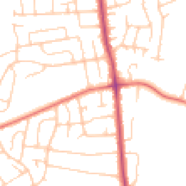
Daytime· 07:00 – 23:00
49.1dB

Night-time· 23:00 – 07:00
38.8dB