19 Woodfield Road, Heswall, Wirral, CH61 8SL
About 19 Woodfield Road
19 Woodfield Road is a property in Heswall, Wirral, Wirral (CH61 8SL). It has council tax band B.
Untraded for 25 years, with the last transfer in August 2001.
Everything you need to know about 19 Woodfield Road
The true value, the hidden risks and the full sale history, in one report.
30-day money-back guarantee

The data behind every report


Energy performance
No EPC on record
This property doesn't have an Energy Performance Certificate yet. An EPC is required to sell or let — and unlocks our automated valuation.
Planning history
19 Woodfield Road has no planning applications on record.
The full report still covers planning activity across the surrounding area.
Sales history & valuation
£50,250
Recorded with HM Land Registry.
Sales timeline
23 August 2001Most recent
£50,250
Median price across the last 5 sales in CH61 8SL: £203,000 (2024–2022).
Nearby sales in CH61 8SL
18 Woodfield Road, Heswall, Wirral, CH61 8SL
Sold Nov 2024
£219,0004 Woodfield Road, Heswall, Wirral, CH61 8SL
Sold Jul 2024
£203,00017 Woodfield Road, Heswall, Wirral, CH61 8SL
Sold May 2022
£175,0003 Woodfield Road, Heswall, Wirral, CH61 8SL
Sold Jan 2022
£217,00021 Woodfield Road, Heswall, Wirral, CH61 8SL
Sold Jan 2022
£177,000
Everything you need to know about 19 Woodfield Road
The true value, the hidden risks and the full sale history, in one report.
30-day money-back guarantee
The data behind every report
Similar properties nearby
The neighbourhood at a glance
Daytime road noise here sits well below conversation level — a quiet pocket of the postcode.
Crime
2/mo
Steady year-on-year across the wider district.
Nearest stop
0.2 km
Somerset Road — bus stop.
Closest school
0.4 km
Pensby High School. 10 schools nearby.
Go deeper on the local area
The full report breaks down crime, transport links, schools and air quality in depth.
Road noise across the postcode
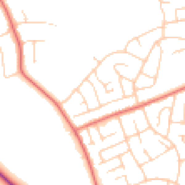
Daytime· 07:00 – 23:00
48.3dB

Night-time· 23:00 – 07:00
38.2dB