9 Sandridge Road, Wirral, CH61 8RY
About 9 Sandridge Road
9 Sandridge Road is a mid-terrace house in Wirral (CH61 8RY). It has a recorded floor area of 71 m² (around 760 sq ft), construction records dating it to 1950-1966 and council tax band B. The latest certificate (August 2011) shows a C (score 74). The latest certificate is from August 2011, so improvements made since then won't be reflected.
Today's modelled estimate of £191,000 sits 70.5% above the 2012 sale of £112,000. Last changed hands 14 years ago, in June 2012.
Everything you need to know about 9 Sandridge Road
The true value, the hidden risks and the full sale history, in one report.
30-day money-back guarantee

The data behind every report


Energy performance
9 Sandridge Road's EPC is over a decade old — improvements since won't be reflected.
EPC Expired
This certificate is over 10 years old and is no longer valid.Expired 26 Aug 2021
EPC Rating
Planning history
9 Sandridge Road has no planning applications on record.
The full report still covers planning activity across the surrounding area.
Sales history & valuation
9 Sandridge Road valuation sits well clear of the typical sold price in this postcode.
£191,000
Modelled from EPC, postcode comparables.
£112,000
Recorded with HM Land Registry.
Sales timeline
14 June 2012Most recent
£112,000
Median price across the last 5 sales in CH61 8RY: £157,500 (2024–2016).
Nearby sales in CH61 8RY
Versus other Sandridge Road homes
9 Sandridge Road outperforms the street on epc rating by a wide margin.
Price per m²
£1,586
Street avg £1,714
Floor Area
71 m²
Street avg 79 m²
Habitable Rooms
3 rooms
Street avg 4 rooms
CO₂ Emissions
2.1 t/year
Street avg 3.7 t/year
Everything you need to know about 9 Sandridge Road
The true value, the hidden risks and the full sale history, in one report.
30-day money-back guarantee
The data behind every report
Similar properties nearby
The neighbourhood at a glance
Daytime road noise here sits well below conversation level — a quiet pocket of the postcode.
Crime
2/mo
Steady year-on-year across the wider district.
Nearest stop
0.3 km
Ridgewood Drive — bus stop.
Closest school
0.8 km
Thingwall Primary School. 13 schools nearby.
Go deeper on the local area
The full report breaks down crime, transport links, schools and air quality in depth.
Road noise across the postcode
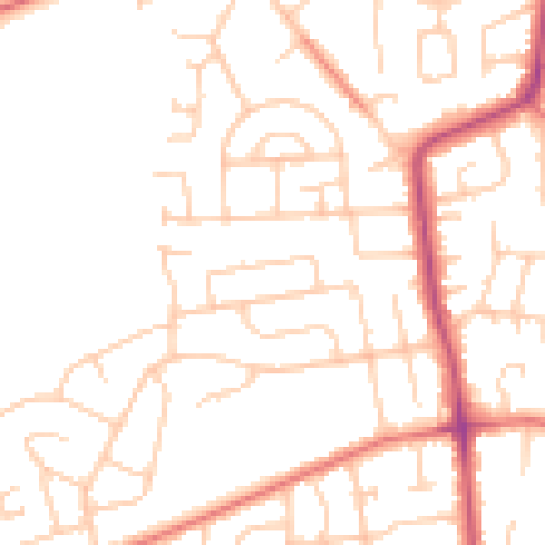
Daytime· 07:00 – 23:00
49.0dB

Night-time· 23:00 – 07:00
38.9dB