31 Sandridge Road, Wirral, CH61 8RY
About 31 Sandridge Road
31 Sandridge Road is a three-bedroom semi-detached house in Wirral (CH61 8RY). It has a recorded floor area of 98 m² (around 1053 sq ft), construction records dating it to 1950-1966 and council tax band C. Tenure is freehold. The latest certificate (April 2009) shows an E (score 51), well below the UK norm with real room to improve. The recommended improvements would lift it to C (score 74), a 2-band jump. The latest certificate is from April 2009, so improvements made since then won't be reflected.
At 98 m² the property is well over the postcode median (72 m² across 16 EPCs), placing it in the larger end of the local stock. It lags the bulk of the postcode on energy efficiency (less efficient than 88% of similar EPCs). Last sold in July 2017, so it's been off the market for around 9 years. Across 2003–2017, sale prices on this property compounded at 3.3% per year. Today's modelled estimate of £231,000 is 47.1% above the 2017 sale price.
What this property has
Inside
- Bedrooms3
- Bathrooms1
Outside
- Private gardenRear
- ParkingOff road
Building
- TenureFreehold
Everything you need to know about 31 Sandridge Road
The true value, the hidden risks and the full sale history, in one report.
30-day money-back guarantee

The data behind every report


Energy performance
Recommended upgrades on file would lift this property by multiple EPC bands.
EPC Expired
This certificate is over 10 years old and is no longer valid.Expired 19 Apr 2019
EPC Rating
Planning history
31 Sandridge Road has no planning applications on record.
The full report still covers planning activity across the surrounding area.
Sales history & valuation
31 Sandridge Road valuation sits well clear of the typical sold price in this postcode.
£231,000
Modelled from EPC, postcode comparables and a sale-price growth of 3.3% per year over 14 years.
£157,000
Growth on file: 3.3% per year over 14 years.
Sales timeline
13 July 2017Most recent
£157,000
+57.1%over 14 years10 July 2003
£99,950
Median price across the last 5 sales in CH61 8RY: £157,500 (2024–2014).
Nearby sales in CH61 8RY
Versus other Sandridge Road homes
On co₂ emissions, 31 Sandridge Road runs well behind the street norm.
Price per m²
£1,605
Street avg £1,713
Floor Area
98 m²
Street avg 78 m²
Habitable Rooms
5 rooms
Street avg 4 rooms
CO₂ Emissions
5.7 t/year
Street avg 3.4 t/year
Everything you need to know about 31 Sandridge Road
The true value, the hidden risks and the full sale history, in one report.
30-day money-back guarantee
The data behind every report
Similar properties nearby
The neighbourhood at a glance
Daytime road noise here sits well below conversation level — a quiet pocket of the postcode.
Crime
2/mo
Steady year-on-year across the wider district.
Nearest stop
0.3 km
Ridgewood Drive — bus stop.
Closest school
0.8 km
Thingwall Primary School. 13 schools nearby.
Go deeper on the local area
The full report breaks down crime, transport links, schools and air quality in depth.
Road noise across the postcode
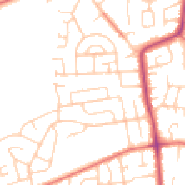
Daytime· 07:00 – 23:00
49.0dB

Night-time· 23:00 – 07:00
38.9dB