28 Northridge Road, Wirral, CH61 8RH
About 28 Northridge Road
28 Northridge Road is a two-bedroom detached house in Wirral (CH61 8RH). It has a recorded floor area of 56 m² (around 603 sq ft), construction records dating it to 1991-1995 and council tax band D. The latest certificate (January 2024) shows a C (score 69), just inside the C band. The recommended improvements would push it to B (score 86).
It hasn't traded since March 2007, a hold of 19 years that's notably long for the area. That sale landed at the peak of the pre-credit-crunch market, which is a useful reference point when interpreting the price. At 56 m² it sits well below the postcode median (84 m² across 15 EPCs), making it one of the more compact homes locally. On energy efficiency it sits in the top 10% of properties in this postcode. Across 1995–2007, sale prices on this property compounded at 5.2% per year. Today's modelled estimate of £231,000 sits 71.1% above the 2007 sale of £135,000. On a £-per-square-foot basis, the last sale (£224/sq ft) was about 45.4% above the typical sold price in the postcode.
What this property has
Inside
- Bedrooms2
Outside
- GarageYes
Building
- Heating systemGas
- RefurbishedYes
Everything you need to know about 28 Northridge Road
The true value, the hidden risks and the full sale history, in one report.
30-day money-back guarantee

The data behind every report


Energy performance
28 Northridge Road ranks among the most efficient homes in the postcode for energy use.
EPC Rating
Planning history
28 Northridge Road has no planning applications on record.
The full report still covers planning activity across the surrounding area.
Sales history & valuation
28 Northridge Road's estimated value is more than triple its earliest registered sale price (1995).
£231,000
Modelled from EPC, postcode comparables and a sale-price growth of 5.2% per year over 12 years.
£135,000
Growth on file: 5.2% per year over 12 years.
Sales timeline
28 March 2007Most recent
£135,000
+81.2%over 11 years5 June 1995
£74,500
Median price across the last 5 sales in CH61 8RH: £175,000 (2022–2018).
Nearby sales in CH61 8RH
Versus other Northridge Road homes
EPC Rating for 28 Northridge Road runs comfortably ahead of the street norm.
Price per m²
£2,411
Street avg £1,890
Floor Area
56 m²
Street avg 82 m²
Habitable Rooms
3 rooms
Street avg 4 rooms
CO₂ Emissions
2.3 t/year
Street avg 5.8 t/year
Everything you need to know about 28 Northridge Road
The true value, the hidden risks and the full sale history, in one report.
30-day money-back guarantee
The data behind every report
Similar properties nearby
1 Ridgefield Road
CH61 8RS
1 Chatsworth Road
CH61 8RX
1 Woodend
CH61 8RU
1 Kenilworth Drive
CH61 8SA
10 Copeland Close
CH61 8TH
1 Haddon Drive
CH61 8TF
1 Northridge Road
CH61 8RH
1 Beeston Drive
CH61 8TD
The neighbourhood at a glance
Daytime road noise here sits well below conversation level — a quiet pocket of the postcode.
Crime
2/mo
Steady year-on-year across the wider district.
Nearest stop
0.2 km
Wimbourne Avenue — bus stop.
Closest school
0.8 km
Thingwall Primary School. 12 schools nearby.
Go deeper on the local area
The full report breaks down crime, transport links, schools and air quality in depth.
Road noise across the postcode
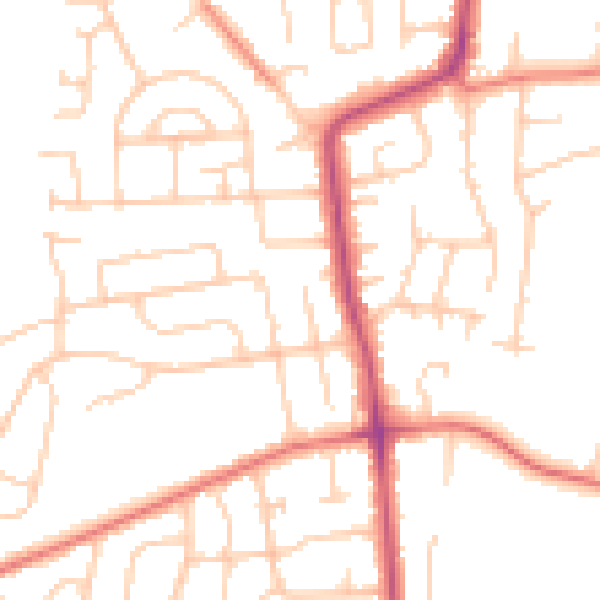
Daytime· 07:00 – 23:00
49.9dB

Night-time· 23:00 – 07:00
39.3dB