15 Gleneagles Close, Wirral, CH61 5YF
About 15 Gleneagles Close
15 Gleneagles Close is a two-bedroom mid-terrace house in Wirral (CH61 5YF). It has a recorded floor area of 59 m² (around 635 sq ft), construction records dating it to 1996-2002 and council tax band B. The latest certificate (January 2013) shows a C (score 69), just inside the C band. The recommended improvements would lift it to A (score 95), a 2-band jump. Main heating runs on electricity. The latest certificate is from January 2013, so improvements made since then won't be reflected.
11 years since the last transfer (October 2015). At 59 m² it's 16.9% smaller than the typical home in the postcode (71 m² median across 19 EPCs). Across 1995–2015, sale prices on this property compounded at 5.8% per year. Today's modelled estimate of £181,000 is 44.8% above the 2015 sale price.
What this property has
Inside
- Bedrooms2
Outside
- Private gardenRear
- GarageYes
Building
- Heating systemElectric
- RefurbishedYes
Everything you need to know about 15 Gleneagles Close
The true value, the hidden risks and the full sale history, in one report.
30-day money-back guarantee

The data behind every report


Energy performance
Recommended upgrades on file would lift this property by multiple EPC bands.
EPC Expired
This certificate is over 10 years old and is no longer valid.Expired 27 Jan 2023
EPC Rating
Planning history
15 Gleneagles Close has no planning applications on record.
The full report still covers planning activity across the surrounding area.
Sales history & valuation
Sale price has grown by over 3x since 1995.
£181,000
Modelled from EPC, postcode comparables and a sale-price growth of 5.8% per year over 20 years.
£125,000
Growth on file: 5.8% per year over 20 years.
Sales timeline
11 October 2015Most recent
£125,000
+204.9%over 19 years20 December 1995
£41,000
Median price across the last 5 sales in CH61 5YF: £185,000 (2025–2023).
Nearby sales in CH61 5YF
Versus other Gleneagles Close homes
On floor area, 15 Gleneagles Close runs well behind the street norm.
Price per m²
£2,119
Street avg £2,364
Floor Area
59 m²
Street avg 72 m²
Habitable Rooms
3 rooms
Street avg 4 rooms
CO₂ Emissions
3.2 t/year
Street avg 2.8 t/year
Everything you need to know about 15 Gleneagles Close
The true value, the hidden risks and the full sale history, in one report.
30-day money-back guarantee
The data behind every report
Similar properties nearby
The neighbourhood at a glance
Crime
2/mo
Steady year-on-year across the wider district.
Nearest stop
0.1 km
Ashlea Road — bus stop.
Closest school
0.2 km
Pensby Primary School. 10 schools nearby.
Go deeper on the local area
The full report breaks down crime, transport links, schools and air quality in depth.
Road noise across the postcode
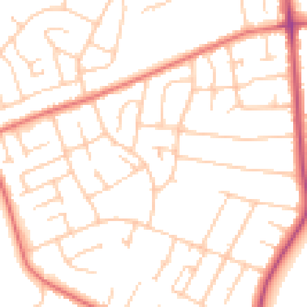
Daytime· 07:00 – 23:00
50.2dB

Night-time· 23:00 – 07:00
39.2dB