11 Gleneagles Close, Wirral, CH61 5YF
About 11 Gleneagles Close
11 Gleneagles Close is a two-bedroom semi-detached house in Wirral (CH61 5YF). It has a recorded floor area of 48 m² (around 517 sq ft), construction records dating it to 1967-1975 and council tax band A. At 48 m² this is the smallest unit on EPC record across the building (48–89 m²). The building's EPC ratings span D to C, with this unit at the top. The latest certificate (January 2023) shows a C (score 74). When first surveyed in February 2009 the rating was E, the property has climbed 2 bands since. Between certificates, window efficiency went from Very Poor to Good, hot-water efficiency went from Average to Good and lighting went from Poor to Good.
At 48 m² it sits well below the postcode median (71 m² across 19 EPCs), making it one of the more compact homes locally. Today's modelled estimate of £154,000 is 21.3% above the 2023 sale price. On a £-per-square-foot basis, the last sale (£246/sq ft) was about 34.5% above the typical sold price in the postcode. Most recent transfer: October 2023 at £127,000.
What this property has
Inside
- Bedrooms2
- Bathrooms1
- Dining roomYes
- EnsuiteYes
Outside
- Private gardenYes
- DrivewayYes
Building
- RefurbishedYes
Everything you need to know about 11 Gleneagles Close
The true value, the hidden risks and the full sale history, in one report.
30-day money-back guarantee

The data behind every report


Energy performance
EPC Rating
Property Improvements
Changes detected from historical EPC data
Replaced storage heaters with gas boiler
Connected to mains gas supply
Heating controls upgraded for better temperature management
Hot water system upgraded
Single glazing replaced with double or better glazing
Cavity wall insulation installed
More low energy lighting installed
Planning history
11 Gleneagles Close has no planning applications on record.
The full report still covers planning activity across the surrounding area.
Sales history & valuation
£154,000
Modelled from EPC, postcode comparables.
£127,000
Recorded with HM Land Registry.
Sales timeline
26 October 2023Most recent
£127,000
Median price across the last 5 sales in CH61 5YF: £185,000 (2025–2022).
Nearby sales in CH61 5YF
Everything you need to know about 11 Gleneagles Close
The true value, the hidden risks and the full sale history, in one report.
30-day money-back guarantee
The data behind every report
Similar properties nearby
The neighbourhood at a glance
Crime
2/mo
Steady year-on-year across the wider district.
Nearest stop
0.1 km
Ashlea Road — bus stop.
Closest school
0.2 km
Pensby Primary School. 10 schools nearby.
Go deeper on the local area
The full report breaks down crime, transport links, schools and air quality in depth.
Road noise across the postcode
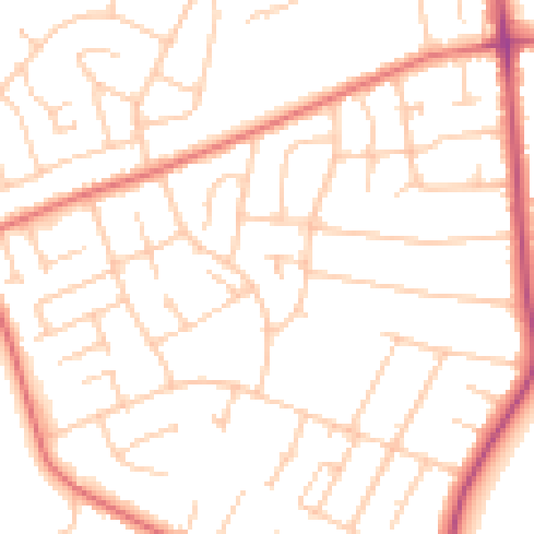
Daytime· 07:00 – 23:00
50.2dB

Night-time· 23:00 – 07:00
39.2dB