35 Derwent Drive, Heswall, Wirral, CH61 5XT
About 35 Derwent Drive
35 Derwent Drive is a property in Heswall, Wirral, Wirral (CH61 5XT). It has council tax band C.
Energy performance
No EPC on record
This property doesn't have an Energy Performance Certificate yet. An EPC is required to sell or let — and unlocks our automated valuation.
Planning history
No planning applications are recorded against 35 Derwent Drive, Heswall, Wirral, CH61 5XT. The full report also covers planning activity across the surrounding area.
Sales history & valuation
No sales recorded with HM Land Registry
That can mean the property has never traded since the registry began publishing in 1995, was a new build that hasn't been registered yet, or is held in the same hands long-term.
Median price across the last 5 sales in CH61 5XT: £180,500 (2021–2014).
Nearby sales in CH61 5XT
13 Derwent Drive, Heswall, Wirral, CH61 5XT
Sold May 2021
£214,00019 Derwent Drive, Heswall, Wirral, CH61 5XT
Sold Jul 2017
£184,9505 Derwent Drive, Heswall, Wirral, CH61 5XT
Sold Feb 2016
£175,00017 Derwent Drive, Heswall, Wirral, CH61 5XT
Sold Jul 2014
£180,50021 Derwent Drive, Heswall, Wirral, CH61 5XT
Sold Mar 2007
£158,000
Similar properties nearby
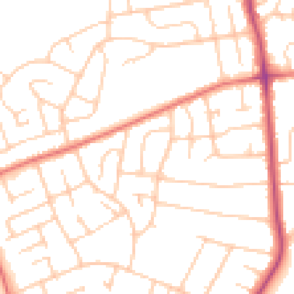
The neighbourhood at a glance
Daytime road noise here sits well below conversation level — a quiet pocket of the postcode.
Crime
2/mo
Steady year-on-year across the wider district.
Nearest stop
0.1 km
Rosemead Avenue — bus stop.
Closest school
0.4 km
Pensby Primary School. 10 schools nearby.
Road noise across the postcode
Daytime· 07:00 – 23:00
49.9dB

Night-time· 23:00 – 07:00
39.1dB