19 Derwent Drive, Heswall, Wirral, CH61 5XT
About 19 Derwent Drive
19 Derwent Drive is a semi-detached house in Heswall, Wirral, Wirral (CH61 5XT). It has a recorded floor area of 91 m² (around 980 sq ft), construction records dating it to 1950-1966 and council tax band C. The latest certificate (March 2017) shows a C (score 71). The recommended improvements would push it to B (score 85).
Across 1998–2017, sale prices on this property compounded at 5.9% per year. Today's modelled estimate of £279,000 sits 50.9% above the 2017 sale of £184,950. Last changed hands 9 years ago, in July 2017.
Everything you need to know about 19 Derwent Drive
The true value, the hidden risks and the full sale history, in one report.
30-day money-back guarantee

The data behind every report


Energy performance
EPC Rating
Planning history
19 Derwent Drive has no planning applications on record.
The full report still covers planning activity across the surrounding area.
Sales history & valuation
Sale price has grown by over 3x since 1998.
£279,000
Modelled from EPC, postcode comparables and a sale-price growth of 5.9% per year over 19 years.
£184,950
Growth on file: 5.9% per year over 19 years.
Sales timeline
17 July 2017Most recent
£184,950
+201.0%over 19 years14 May 1998
£61,450
Median price across the last 5 sales in CH61 5XT: £175,000 (2021–2012).
Nearby sales in CH61 5XT
13 Derwent Drive, Heswall, Wirral, CH61 5XT
Sold May 2021
£214,0005 Derwent Drive, Heswall, Wirral, CH61 5XT
Sold Feb 2016
£175,00017 Derwent Drive, Heswall, Wirral, CH61 5XT
Sold Jul 2014
£180,50021 Derwent Drive, Heswall, Wirral, CH61 5XT
Sold Mar 2007
£158,00033 Derwent Drive, Heswall, Wirral, CH61 5XT
Sold Sept 1999
£63,000
Versus other Derwent Drive homes
EPC Rating for 19 Derwent Drive runs comfortably ahead of the street norm.
Price per m²
£2,032
Street avg £1,693
Floor Area
91 m²
Street avg 99 m²
Habitable Rooms
4 rooms
Street avg 5 rooms
CO₂ Emissions
3.1 t/year
Street avg 4.1 t/year
Everything you need to know about 19 Derwent Drive
The true value, the hidden risks and the full sale history, in one report.
30-day money-back guarantee
The data behind every report
Similar properties nearby
The neighbourhood at a glance
Daytime road noise here sits well below conversation level — a quiet pocket of the postcode.
Crime
2/mo
Steady year-on-year across the wider district.
Nearest stop
0.1 km
Rosemead Avenue — bus stop.
Closest school
0.4 km
Pensby Primary School. 10 schools nearby.
Go deeper on the local area
The full report breaks down crime, transport links, schools and air quality in depth.
Road noise across the postcode
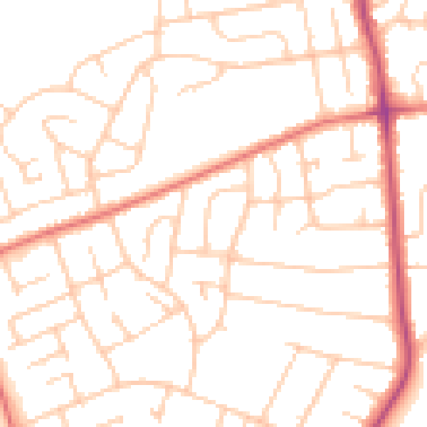
Daytime· 07:00 – 23:00
49.9dB

Night-time· 23:00 – 07:00
39.1dB